File:Bernburg 111211.jpg

Size of this preview: 800 × 579 pixels. Other resolutions: 320 × 232 pixels | 640 × 463 pixels | 1,024 × 741 pixels | 1,280 × 927 pixels | 2,482 × 1,797 pixels.
Original file (2,482 × 1,797 pixels, file size: 2.83 MB, MIME type: image/jpeg)
Captions
Captions
Add a one-line explanation of what this file represents
Summary
edit
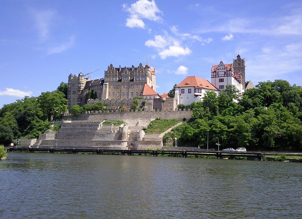
| Description | Schloss Bernburg, Blick vom Oberlauf der Saale - aufgenommen auf der Fähre über die Saale |
| Date | |
| Source | 10_0616_111211 |
| Author | Sarkana from Berlin, Deutschland |
| Camera location | | View this and other nearby images on: OpenStreetMap |
|---|
Licensing
edit
|
English: If you want to use this file commercially, you have to do these under the terms of the Free Art License.
Deutsch: Wenn Sie diese Datei kommerziell nutzen möchten, müssen Sie dies unter den Bedingungen der Licence Art Libre tun.
English: Otherwise you may choose out of of the following Creative Commons licence:
Deutsch: Andernfalls können Sie auch die folgende Creative Commons-Lizenz nutzen:
|
File history
Click on a date/time to view the file as it appeared at that time.
| Date/Time | Thumbnail | Dimensions | User | Comment | |
|---|---|---|---|---|---|
| current | 23:46, 10 December 2010 | | 2,482 × 1,797 (2.83 MB) | Sarkana (talk | contribs) | perspektivischer fix |
| 01:14, 3 September 2010 |  | 2,560 × 1,920 (2.18 MB) | Sarkana (talk | contribs) | {{Information |Description=Schloss Bernburg, Blick vom Oberlauf der Saale - aufgenommen auf der Fähre über die Saale |Source=[http://www.flickr.com/photos/sarkana/4952966462/ 10_0616_111211] |Date=2010-06-16 11:12 |Author=[http://www.flickr.com/photos/2 |
You cannot overwrite this file.
File usage on Commons
The following 6 pages use this file:
File usage on other wikis
The following other wikis use this file:
- Usage on ar.wikipedia.org
- Usage on arz.wikipedia.org
- Usage on ba.wikipedia.org
- Usage on be-tarask.wikipedia.org
- Usage on be.wikipedia.org
- Usage on bg.wikipedia.org
- Usage on ceb.wikipedia.org
- Usage on ce.wikipedia.org
- Usage on de.wikibooks.org
- Usage on de.wikiversity.org
- Usage on de.wikivoyage.org
- Usage on eo.wikipedia.org
- Usage on es.wikipedia.org
- Usage on eu.wikipedia.org
- Usage on ga.wikipedia.org
- Usage on hy.wikipedia.org
- Usage on it.wikipedia.org
- Usage on ku.wikipedia.org
- Usage on nn.wikipedia.org
- Usage on pl.wikipedia.org
- Usage on pl.wikivoyage.org
- Usage on ro.wikipedia.org
- Usage on ru.wikipedia.org
- Usage on sr.wikipedia.org
- Usage on tt.wikipedia.org
- Usage on uz.wikipedia.org
- Usage on vo.wikipedia.org
- Usage on www.wikidata.org
- Usage on zh.wikipedia.org