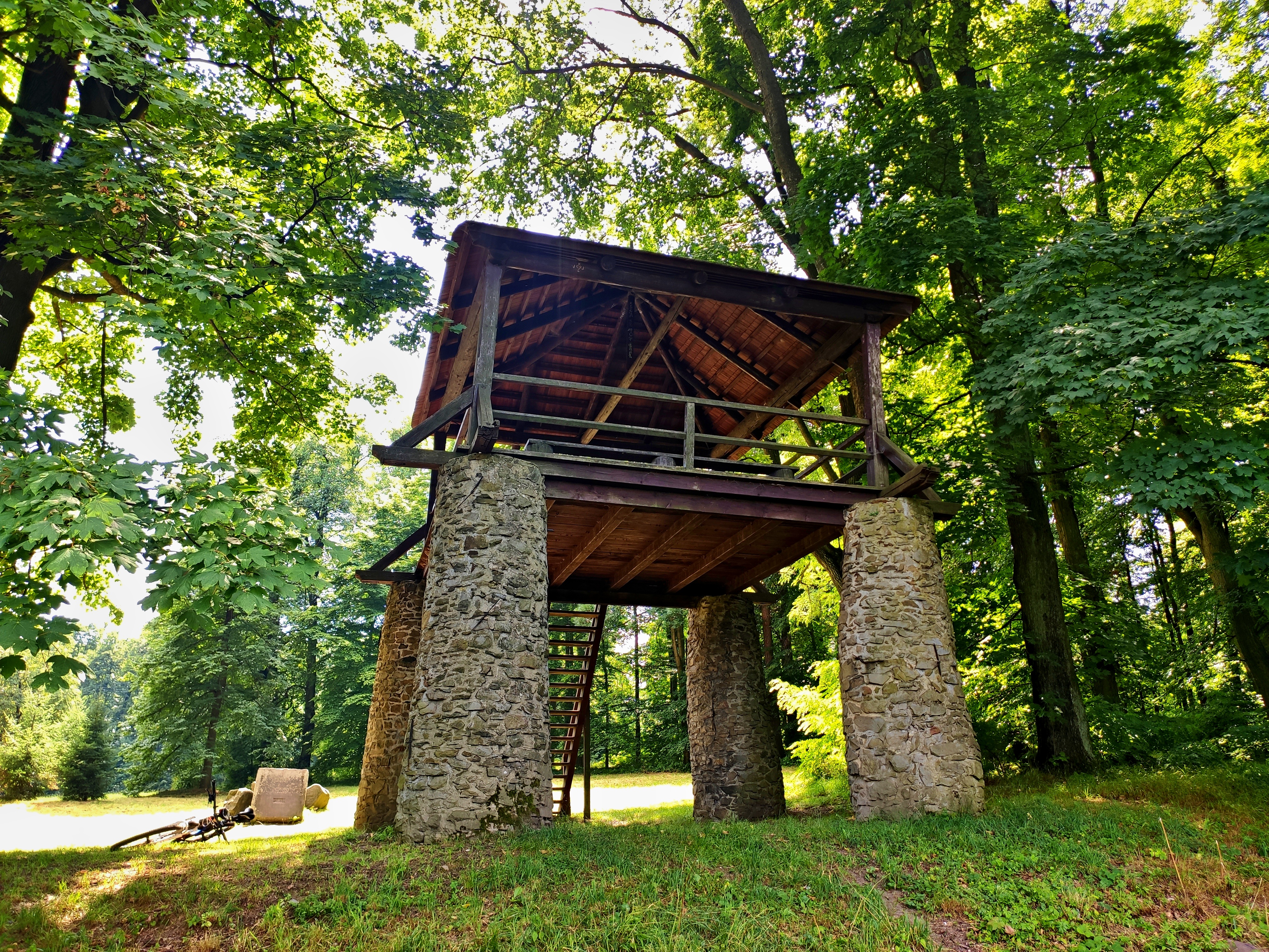
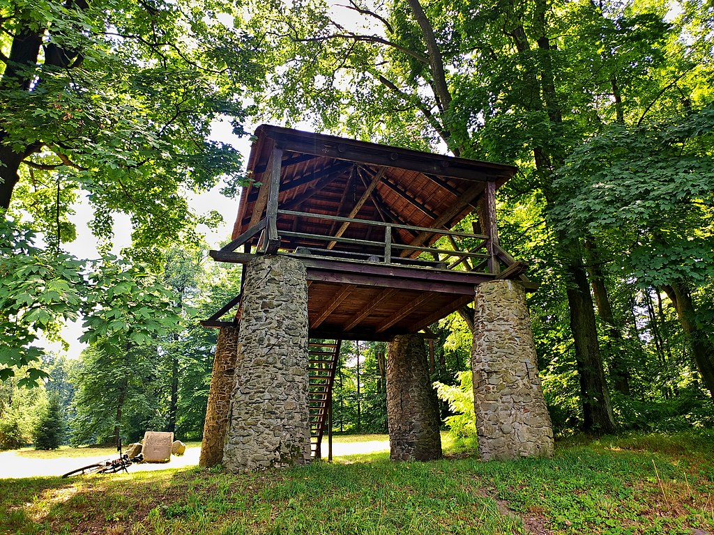
File:Bezrucova vyhlidka.jpg
Size of this preview: 800 × 600 pixels. Other resolutions: 320 × 240 pixels | 640 × 480 pixels | 1,024 × 768 pixels | 1,280 × 960 pixels | 2,560 × 1,920 pixels | 4,000 × 3,000 pixels.
Original file (4,000 × 3,000 pixels, file size: 7.42 MB, MIME type: image/jpeg)
File information
Structured data
Captions
Summary edit
DescriptionBezrucova vyhlidka.jpg |
Čeština: Bezručova vyhlídka |
Date | |
Source | Own work |
Author | Jakub Pospíšil |
Permission (Reusing this file) |
I, the copyright holder of this work, hereby publish it under the following license: This file is licensed under the Creative Commons Attribution-Share Alike 4.0 International license.
|
Camera location | 49° 51′ 22.03″ N, 17° 52′ 05.66″ E | View this and other nearby images on: OpenStreetMap | 49.856119; 17.868239 |
---|
File history
Click on a date/time to view the file as it appeared at that time.
Date/Time | Thumbnail | Dimensions | User | Comment | |
---|---|---|---|---|---|
current | 21:55, 9 April 2022 | 4,000 × 3,000 (7.42 MB) | Jakub Pospíšil (talk | contribs) | Uploaded own work with UploadWizard |
You cannot overwrite this file.
File usage on Commons
The following page uses this file:
File usage on other wikis
The following other wikis use this file:
- Usage on cs.wikipedia.org
- Usage on incubator.wikimedia.org
- Usage on www.wikidata.org
Metadata
This file contains additional information such as Exif metadata which may have been added by the digital camera, scanner, or software program used to create or digitize it. If the file has been modified from its original state, some details such as the timestamp may not fully reflect those of the original file. The timestamp is only as accurate as the clock in the camera, and it may be completely wrong.
Camera manufacturer | Xiaomi |
---|---|
Camera model | Mi 9T Pro |
Exposure time | 1/100 sec (0.01) |
F-number | f/1.75 |
ISO speed rating | 122 |
Date and time of data generation | 14:00, 30 July 2021 |
Lens focal length | 4.77 mm |
Latitude | 49° 51′ 22.03″ N |
Longitude | 17° 52′ 5.66″ E |
Altitude | 471.702 meters above sea level |
Width | 4,000 px |
Height | 3,000 px |
Compression scheme | Uncompressed |
Pixel composition | RGB |
Orientation | Normal |
Horizontal resolution | 72 dpi |
Vertical resolution | 72 dpi |
Data arrangement | chunky format |
Software used | Zoner Photo Studio X |
File change date and time | 23:51, 25 March 2022 |
Y and C positioning | Centered |
Exif version | 2.2 |
Date and time of digitizing | 14:00, 30 July 2021 |
Meaning of each component |
|
APEX shutter speed | 6.643 |
APEX aperture | 1.61 |
APEX exposure bias | 0 |
Maximum land aperture | 1.61 APEX (f/1.75) |
Metering mode | Center weighted average |
Light source | D65 |
Flash | Flash did not fire, compulsory flash suppression |
DateTime subseconds | 460030 |
DateTimeOriginal subseconds | 460030 |
DateTimeDigitized subseconds | 460030 |
Supported Flashpix version | 1 |
Color space | sRGB |
Sensing method | Undefined |
White balance | Auto white balance |
Focal length in 35 mm film | 26 mm |
GPS time (atomic clock) | 12:00 |
GPS date | 30 July 2021 |