File:Bicycle path in Kaohsiung.jpg

Size of this preview: 800 × 600 pixels. Other resolutions: 320 × 240 pixels | 640 × 480 pixels | 1,024 × 768 pixels.
Original file (1,024 × 768 pixels, file size: 511 KB, MIME type: image/jpeg)
Captions
Captions
Add a one-line explanation of what this file represents
Summary edit
| Description |
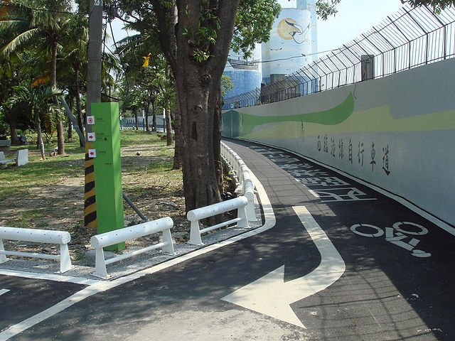
中文(臺灣):西臨港線自行車道起點。 |
| Date | 30 August 2008 14:13 |
| Source | 西臨港線自行車道起點 |
| Author | Anav Rin from Gushan, Kaohsiung, Taipei |
| Camera location | | View this and other nearby images on: OpenStreetMap |
|---|
Licensing edit
This file is licensed under the Creative Commons Attribution 2.0 Generic license.
- You are free:
- to share – to copy, distribute and transmit the work
- to remix – to adapt the work
- Under the following conditions:
- attribution – You must give appropriate credit, provide a link to the license, and indicate if changes were made. You may do so in any reasonable manner, but not in any way that suggests the licensor endorses you or your use.
| This image, originally posted to Flickr, was reviewed on 17 September 2010 by the administrator or reviewer Geagea, who confirmed that it was available on Flickr under the stated license on that date. |
File history
Click on a date/time to view the file as it appeared at that time.
| Date/Time | Thumbnail | Dimensions | User | Comment | |
|---|---|---|---|---|---|
| current | 00:31, 17 September 2010 | | 1,024 × 768 (511 KB) | A-lú-mih (talk | contribs) | {{Information |Description=西臨港線自行車道起點 |Source=[http://www.flickr.com/photos/anav_rin/2813872055/ 西臨港線自行車道起點] |Date=2008-08-30 14:13 |Author=[http://www.flickr.com/photos/70661745@N00 Anav Rin] from Gushan, Kaohsiung |
You cannot overwrite this file.
File usage on Commons
There are no pages that use this file.
File usage on other wikis
The following other wikis use this file:
- Usage on zh.wikipedia.org