File:Biecz (gmina) location map.png
Original file (2,253 × 1,754 pixels, file size: 688 KB, MIME type: image/png)
Captions
Captions
Summary edit
_location_map.png&action=edit§ion=1)
| Description |
English: Location map |
| Date | |
| Source | Own work |
| Author | Smat |
| Description |
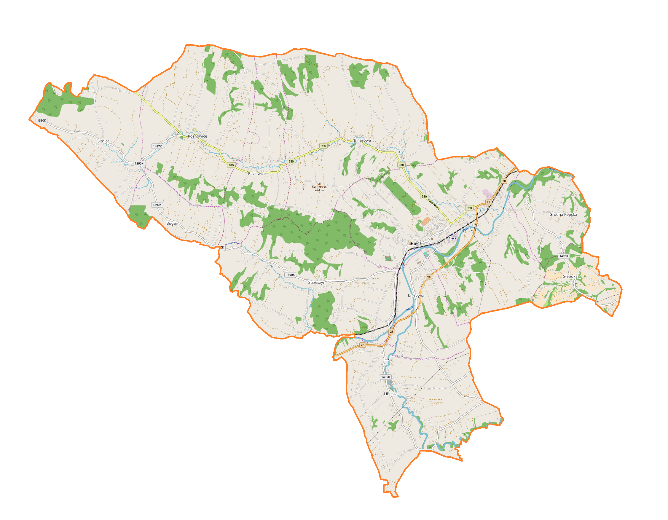
Polski: Mapa gminy Biecz, Polska
English: Map of Biecz (gmina), Poland |
|||||||||
| Date | ||||||||||
| Source | You may find a page on the OpenStreetMap wiki page for Biecz (gmina) | |||||||||
| Creator |
OpenStreetMap contributors OpenStreetMap contributors |
|||||||||
| Permission (Reusing this file) |
OpenStreetMap data is available under the Open Database License (details). Map tiles are licensed under the Creative Commons Attribution-ShareAlike 2.0 license (CC-BY-SA 2.0).
This file is licensed under the Creative Commons Attribution-Share Alike 2.0 Generic license.
|
|||||||||
| Geotemporal data | ||||||||||
| Bounding box |
|
|||||||||
| Georeferencing | If inappropriate please set warp_status = skip to hide. | |||||||||
Licensing edit
_location_map.png&action=edit§ion=2)
| This work contains information from OpenStreetMap, which is made available under the Open Database License (ODbL).
The ODbL does not require any particular license for maps produced from ODbL data. Prior to 1 August 2020, map tiles produced by the OpenStreetMap Foundation were licensed under the CC-BY-SA-2.0 license. Maps produced by other people may be subject to other licences. |
File history
Click on a date/time to view the file as it appeared at that time.
| Date/Time | Thumbnail | Dimensions | User | Comment | |
|---|---|---|---|---|---|
| current | 13:01, 28 February 2018 | | 2,253 × 1,754 (688 KB) | Smat (talk | contribs) | User created page with UploadWizard |
You cannot overwrite this file.
File usage on Commons
There are no pages that use this file.
File usage on other wikis
The following other wikis use this file:
- Usage on de.wikipedia.org
- Usage on fr.wikipedia.org
- Usage on pl.wikipedia.org
- Biecz
- Racławice (powiat gorlicki)
- Kolegiata Bożego Ciała w Bieczu
- Binarowa
- Grudna Kępska
- Libusza (wieś)
- Rożnowice (województwo małopolskie)
- Sitnica (województwo małopolskie)
- Strzeszyn (województwo małopolskie)
- Korczyna (województwo małopolskie)
- Bugaj (powiat gorlicki)
- Głęboka (powiat gorlicki)
- Ratusz w Bieczu
- Kościół i klasztor franciszkański w Bieczu
- Szpital Świętego Ducha w Bieczu
- Budynek grodu starościńskiego w Bieczu
- Dom Barianów-Rokickich w Bieczu
- Dom zbója Becza
- Synagoga w Bieczu
- Biecz (stacja kolejowa)
- Szwedzka mogiła (Racławice)
- Kościół Narodzenia Najświętszej Marii Panny w Libuszy
- Cmentarz wojenny nr 111 – Racławice
- Cmentarz wojenny nr 110 – Binarowa
- Kościół św. Michała Archanioła w Binarowej
- Kościół św. Andrzeja Apostoła w Rożnowicach
- Ulica Grodzka w Bieczu
- Rynek w Bieczu
- Kamieniec (Binarowa)
- Półrole
- Libusza Dolna
- Libusza Górna
- Równie (Rożnowice)
- Fortepian (Rożnowice)
- Zagórze (Strzeszyn)
- Wilczak (Strzeszyn)
- Serwoniec (Strzeszyn)
- Ukraina (Sitnica)
- Lechowe Potoki
- Wygon (Strzeszyn)
- Równia (Binarowa)
- Strzegominy
- Zielona Ulica (Binarowa)
- Wielki Potok
- Wyręby (Racławice)
- Kąty (Rożnowice)
- Łukowice (Rożnowice)
- Piekło (Rożnowice)
View more global usage of this file.
_location_map.png)
_location_map.png&oldid=823303409)