File:Bieltal-Silvretta05.jpg

Size of this preview: 800 × 568 pixels. Other resolutions: 320 × 227 pixels | 640 × 454 pixels | 1,024 × 727 pixels | 1,280 × 908 pixels | 2,389 × 1,695 pixels.
Original file (2,389 × 1,695 pixels, file size: 1.89 MB, MIME type: image/jpeg)
Captions
Captions
Add a one-line explanation of what this file represents
Summary
edit
| Description |
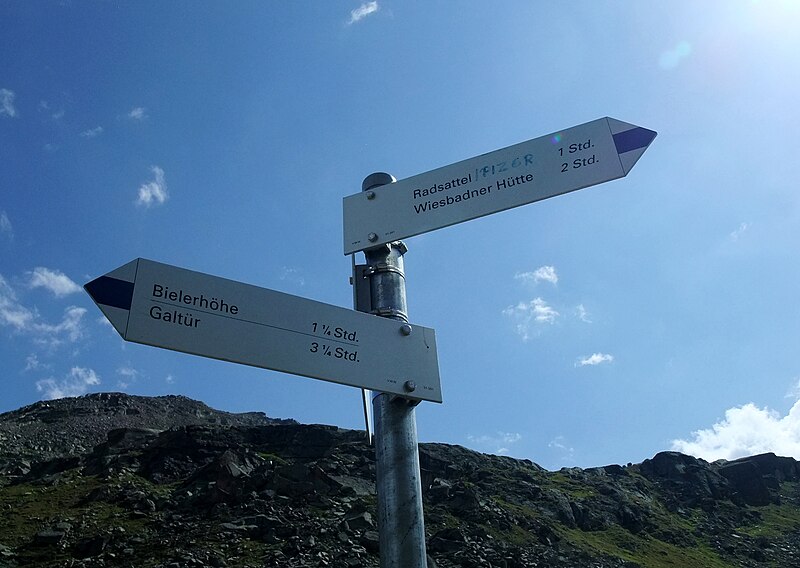
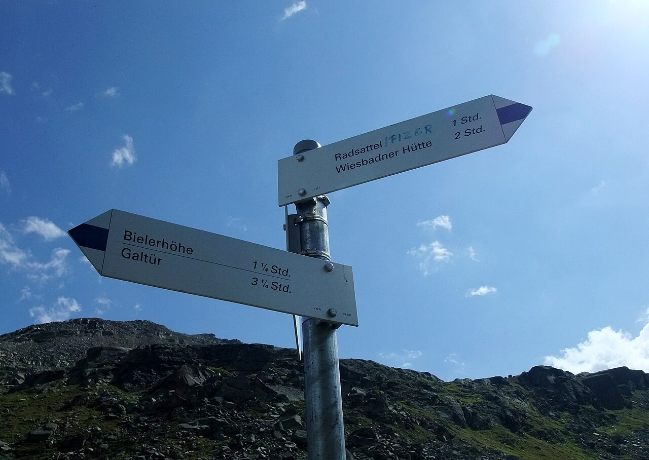
English: The Bieltal is situated in the federal state of Tyrol of Austria. View to a sign on the trail to Wiesbadener Hütte within the Silvretta Alps. Deutsch: Vom Silvretta-Stausee ausgehend verläuft das Bieltal entlang der tirolerisch-vorarlbergerischen Grenze nach Südosten. Im Bild: Wegweiser zum Radsattel und zur Wiesbadener Hütte in den Silvretta-Alpen. |
| Date | |
| Source | Own work |
| Author | Nikater |
| Permission (Reusing this file) |
Own work, all rights released (Public domain) |
| Camera location | | View this and other nearby images on: OpenStreetMap |
|---|
Licensing
edit
| I, the copyright holder of this work, release this work into the public domain. This applies worldwide. In some countries this may not be legally possible; if so: I grant anyone the right to use this work for any purpose, without any conditions, unless such conditions are required by law. |
File history
Click on a date/time to view the file as it appeared at that time.
| Date/Time | Thumbnail | Dimensions | User | Comment | |
|---|---|---|---|---|---|
| current | 08:28, 27 April 2012 | | 2,389 × 1,695 (1.89 MB) | Nikater (talk | contribs) | == {{int:filedesc}} == {{Information |Description={{en|1=The Bieltal is situated in the westernmost federal state Vorarlberg of Austria. View to a sign on the trail to Wiesbadener Hütte within the Silvretta Alps.}} {{de|1=Vom [... |
You cannot overwrite this file.
File usage on Commons
There are no pages that use this file.