File:Big Bottom fields in December.jpg
Size of this preview: 800 × 450 pixels. Other resolutions: 320 × 180 pixels | 640 × 360 pixels | 1,024 × 576 pixels | 1,280 × 720 pixels | 2,816 × 1,584 pixels.
Original file (2,816 × 1,584 pixels, file size: 1.18 MB, MIME type: image/jpeg)
Captions
Captions
Add a one-line explanation of what this file represents
| Camera location | | View this and other nearby images on: OpenStreetMap |
|---|
| Description |
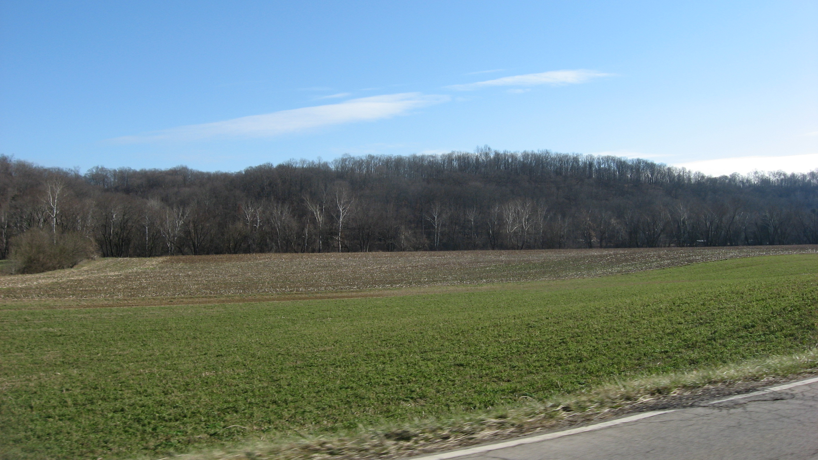
English: Farmland in the Big Bottom of the Muskingum River, located along State Route 266 below Stockport in Windsor Township, Morgan County, Ohio, United States. The river lies at the base of the hills, which themselves are in far northern Washington County. |
||
| Date | Taken on 27 December 2013 | ||
| Source | Own work | ||
| Author | Nyttend | ||
| Permission (Reusing this file) |
|
File history
Click on a date/time to view the file as it appeared at that time.
| Date/Time | Thumbnail | Dimensions | User | Comment | |
|---|---|---|---|---|---|
| current | 05:56, 31 December 2013 | | 2,816 × 1,584 (1.18 MB) | Nyttend (talk | contribs) | {{Location|39|34|10|N|81|43|14|W}} {{Information |Description={{en|Farmland in the Big Bottom of the {{w|Muskingum River}}, located along {{w|Ohio State Route 266|State Route 266}} below {{w|Stockport, Ohio|Stockport}} in {{w|Windsor Township, Morgan C... |
You cannot overwrite this file.
File usage on Commons
There are no pages that use this file.