File:Birkigt.PNG

Original file (850 × 670 pixels, file size: 1.07 MB, MIME type: image/png)
Captions
Captions
Summary edit
| Description |
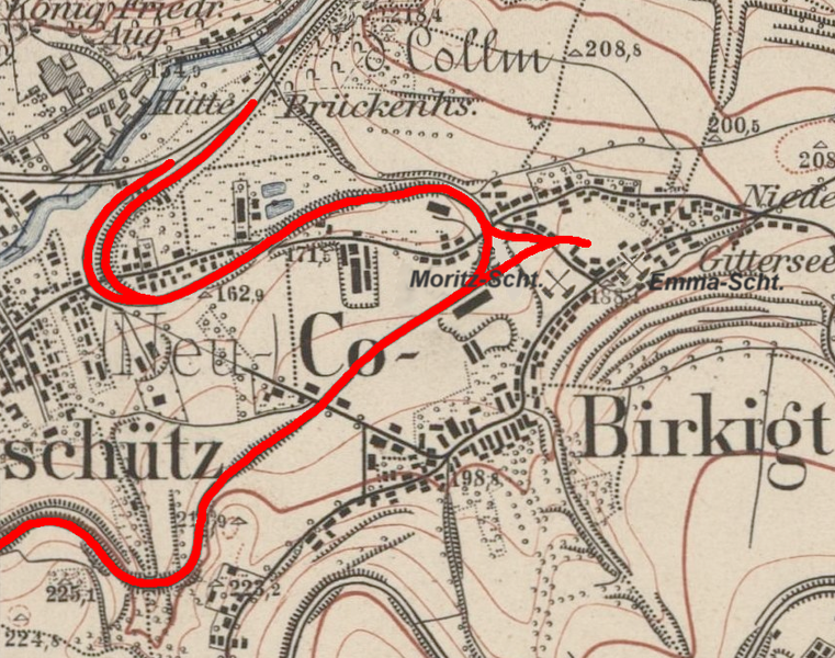
Deutsch: Topographische Karte (Äquidistantenkarte) Sachsen, Ausschnitt Dresden Blatt 66, ,1:25000,1904, Kohlebahn in Birkigt. |
| Date | (Bearbeitung 2017 durch User:Privoksalnaja) |
| Source | Deutsche Fotothek Permalink df_dk_0000312.jpg (small) |
| Author | Bureau des Königlichen Generalstabes |
Licensing edit
| This work is ineligible for copyright and therefore in the public domain because it consists entirely of information that is common property and contains no original authorship. |
|
This work is in the public domain in its country of origin and other countries and areas where the copyright term is the author's life plus 70 years or fewer.
| |
| This file has been identified as being free of known restrictions under copyright law, including all related and neighboring rights. | |
File history
Click on a date/time to view the file as it appeared at that time.
| Date/Time | Thumbnail | Dimensions | User | Comment | |
|---|---|---|---|---|---|
| current | 12:04, 5 October 2019 | | 850 × 670 (1.07 MB) | Privoksalnaja (talk | contribs) | Verbesserte Darstellung |
| 14:37, 12 January 2018 |  | 904 × 701 (1.5 MB) | Privoksalnaja (talk | contribs) | == {{int:filedesc}} == {{Information |Description={{de|Topographische Karte (Äquidistantenkarte) Sachsen, Ausschnitt Dresden Blatt 66, ,1:25000,1904, Kohlebahn in Birkigt.}} |Source= Deutsche Fotothek [http://www.deutschefotothek.de/obj70302464.html P... |
You cannot overwrite this file.
File usage on Commons
The following 10 pages use this file:
- User:Chumwa/OgreBot/Potential transport maps/2019 October 1-10
- User:Chumwa/OgreBot/Public transport information/2019 October 1-10
- User:Chumwa/OgreBot/Transport Maps/2019 October 1-10
- User:Chumwa/OgreBot/Travel and communication maps/2019 October 1-10
- User:Derbrauni/NeuesDresden/2018 January 11-20
- User:Derbrauni/NeuesDresden/2019 October 1-10
- User:Frze/Category:Dresden uploads/2018 January 11-20
- User:Frze/Category:Dresden uploads/2019 October 1-10
- User:Magog the Ogre/PD ineligible/2018 January 12-15
- User:Magog the Ogre/PD ineligible/2019 October 4-7
File usage on other wikis
The following other wikis use this file:
- Usage on de.wikipedia.org