File:Björkskatan - OpenStreetMap.png

Size of this preview: 610 × 600 pixels. Other resolutions: 244 × 240 pixels | 488 × 480 pixels | 781 × 768 pixels | 1,041 × 1,024 pixels | 2,008 × 1,975 pixels.
Original file (2,008 × 1,975 pixels, file size: 876 KB, MIME type: image/png)
Captions
Captions
Add a one-line explanation of what this file represents
| Description |
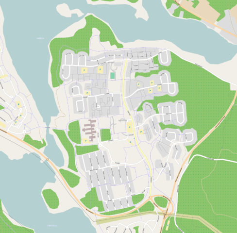
This map of Björkskatan was created from OpenStreetMap project data, collected by the community. This map may be incomplete, and may contain errors. Don't rely solely on it for navigation. |
| Date | |
| Source | openstreetmap.org |
| Creator |
OpenStreetMap contributors |
| Permission (Reusing this file) |
OpenStreetMap data and maps are licensed under the Creative Commons Attribution-ShareAlike 2.0 license (CC-BY-SA 2.0). This file is licensed under the Creative Commons Attribution-Share Alike 2.0 Generic license.
|
| Georeferencing | If inappropriate please set warp_status = skip to hide. |
File history
Click on a date/time to view the file as it appeared at that time.
| Date/Time | Thumbnail | Dimensions | User | Comment | |
|---|---|---|---|---|---|
| current | 19:40, 14 April 2011 | | 2,008 × 1,975 (876 KB) | Skizzik (talk | contribs) | {{Information |Description ={{en|1=-}} |Source =- |Author =- |Date = |Permission = |other_versions = }} Category:OpenStreetMap maps of Sweden Category:Luleå |
You cannot overwrite this file.
File usage on Commons
There are no pages that use this file.
File usage on other wikis
The following other wikis use this file:
- Usage on en.wikipedia.org
- Usage on fa.wikipedia.org
- Usage on lld.wikipedia.org
- Usage on sv.wikipedia.org
- Usage on www.wikidata.org