File:Black Sea map blank.png
Size of this preview: 781 × 600 pixels. Other resolutions: 313 × 240 pixels | 625 × 480 pixels | 1,000 × 768 pixels | 1,280 × 983 pixels | 2,006 × 1,541 pixels.
Original file (2,006 × 1,541 pixels, file size: 574 KB, MIME type: image/png)
Captions
Captions
Add a one-line explanation of what this file represents
Summary edit
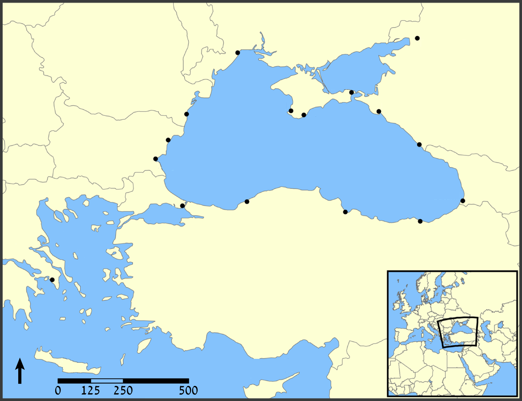
| Description | A map showing the location of the Black Sea and some of the large or prominent ports around it. The Sea of Azov and Sea of Marmara are also labelled. |
| Date | (UTC) |
| Source |
This file was derived from: Black Sea map.png: |
| Author |
|
| Other versions |
[]
|


.png)


| This is a retouched picture, which means that it has been digitally altered from its original version. Modifications: blank. The original can be viewed here: Black Sea map.png:
|
Licensing edit
I, the copyright holder of this work, hereby publish it under the following licenses:
| This file is licensed under the Creative Commons Attribution-Share Alike 3.0 Unported license. | ||
| ||
| This licensing tag was added to this file as part of the GFDL licensing update. |

|
Permission is granted to copy, distribute and/or modify this document under the terms of the GNU Free Documentation License, Version 1.2 or any later version published by the Free Software Foundation; with no Invariant Sections, no Front-Cover Texts, and no Back-Cover Texts. A copy of the license is included in the section entitled GNU Free Documentation License. |
You may select the license of your choice.
Original upload log edit
This image is a derivative work of the following images:
- File:Black_Sea_map.png licensed with Cc-by-sa-3.0-migrated, GFDL
- 2007-07-10T18:10:36Z NormanEinstein 1200x915 (382990 Bytes) Updated maps to add Russian city of Sochi.
- 2007-05-07T19:11:11Z NormanEinstein 1200x912 (378400 Bytes) Corrected city name typo.
- 2006-05-29T13:10:42Z NormanEinstein 1200x914 (136455 Bytes) Reduced image size.
- 2005-07-25T14:54:05Z NormanEinstein 1200x916 (487643 Bytes) A map showing the location of the Black Sea and some of the large or prominent ports around it. The Sea of Azov and Sea of Maramara are also labelled. Created by NormanEinstein, July 25, 2005. {{GFDL-self}} [[Category:Maps
Uploaded with derivativeFX
File history
Click on a date/time to view the file as it appeared at that time.
| Date/Time | Thumbnail | Dimensions | User | Comment | |
|---|---|---|---|---|---|
| current | 14:43, 3 August 2012 | | 2,006 × 1,541 (574 KB) | Amirki (talk | contribs) | . |
| 14:39, 3 August 2012 |  | 1,954 × 1,538 (559 KB) | Amirki (talk | contribs) | == {{int:filedesc}} == {{Information |Description=A map showing the location of the Black Sea and some of the large or prominent ports around it. The Sea of Azov and Sea of Marmara are also labelled. |Source={{Derived from|Black_Sea_map.png|display=50}... |
You cannot overwrite this file.
File usage on Commons
The following 19 pages use this file:
- Чорне море - Чёрное море - Karadeniz - Marea Neagră
- File:Black Sea map-ar.png
- File:Black Sea map-de.png
- File:Black Sea map-sv.png
- File:Black Sea map-tr.png
- File:Black Sea map-zh.png
- File:Black Sea map.png
- File:Black Sea map blank.png
- File:Black Sea map he.png
- File:Black Sea map he (cropped).png
- File:Black Sea map hr.svg
- File:Black Sea map ku.png
- File:Black Sea map lld.png
- File:Black Sea map ta.png
- File:Mer Noire (carte).png
- File:Morze Czarne mapa pl.png
- File:Zwarte Zee.png
- File:ΜαύρηΘάλασσα.PNG
- Template:Other versions/Black Sea map
.png)