File:Blick nach Algund.jpg

Size of this preview: 800 × 533 pixels. Other resolutions: 320 × 213 pixels | 640 × 427 pixels | 1,024 × 683 pixels | 1,280 × 853 pixels | 2,560 × 1,707 pixels | 3,456 × 2,304 pixels.
Original file (3,456 × 2,304 pixels, file size: 3.41 MB, MIME type: image/jpeg)
Captions
Captions
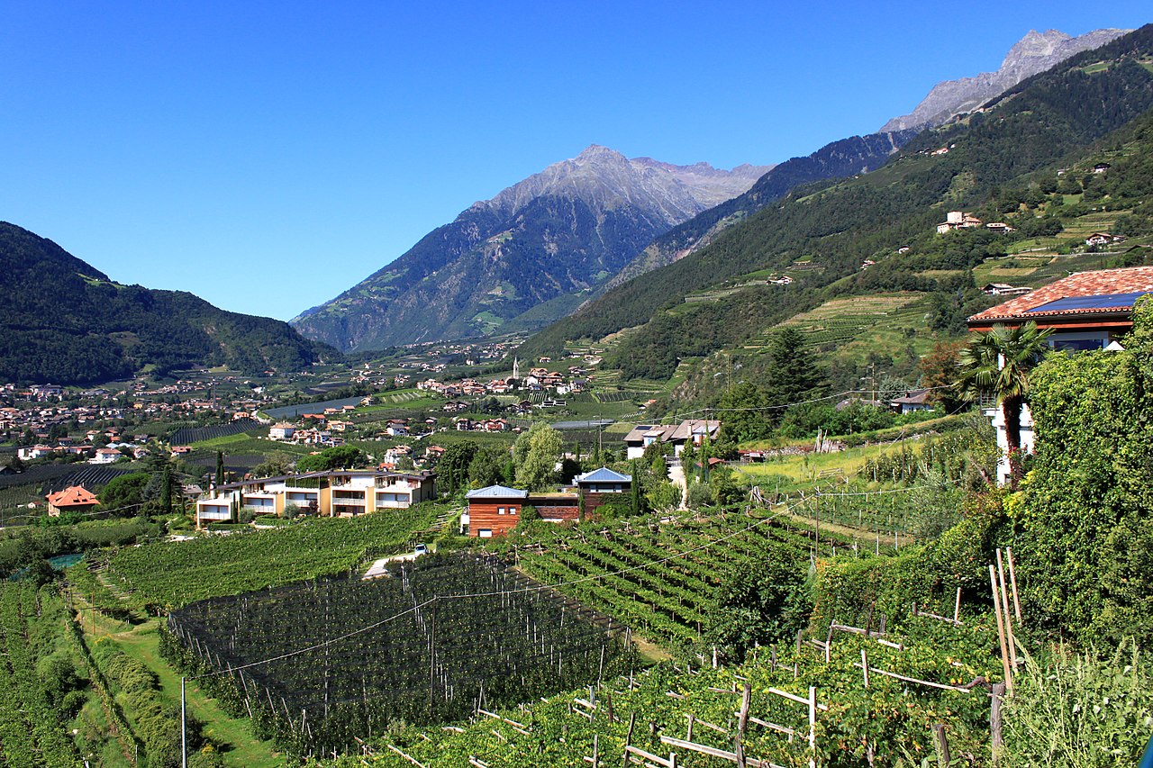
View to the target peak (with Ohrnknott and Orenalm) over Algund with peaks towards Texelspitze above Partschins. The municipality of Algund is located in the Trentino region of South Tyrol. It borders directly on Merano .
Summary edit
| Description |
Deutsch: Blick zur Zielspitze (mit Ohrnknott und Orenalm) über Algund hinweg mit Gipfeln hin zur Texelspitze oberhalb von Partschins. Die Gemeinde Algund liegt in der Region Trentino in Südtirol. Sie grenzt unmittelbar an Meran und liegt am Fuße des Naturparks Texelgruppe. Rechts oben weitere Felsgipfel über dem Etschtal. Talstufe Töll. |
| Date | |
| Source | Own work |
| Author | Uwelino |
| Camera location | | View this and other nearby images on: OpenStreetMap |
|---|
Licensing edit
I, the copyright holder of this work, hereby publish it under the following license:
This file is licensed under the Creative Commons Attribution-Share Alike 4.0 International license.
- You are free:
- to share – to copy, distribute and transmit the work
- to remix – to adapt the work
- Under the following conditions:
- attribution – You must give appropriate credit, provide a link to the license, and indicate if changes were made. You may do so in any reasonable manner, but not in any way that suggests the licensor endorses you or your use.
- share alike – If you remix, transform, or build upon the material, you must distribute your contributions under the same or compatible license as the original.
File history
Click on a date/time to view the file as it appeared at that time.
| Date/Time | Thumbnail | Dimensions | User | Comment | |
|---|---|---|---|---|---|
| current | 09:08, 23 July 2017 | | 3,456 × 2,304 (3.41 MB) | Uwelino (talk | contribs) | User created page with UploadWizard |
You cannot overwrite this file.
File usage on Commons
The following 2 pages use this file: