File:Blick vom Schobersberg auf Windhag.jpg
Original file (4,901 × 3,408 pixels, file size: 8.7 MB, MIME type: image/jpeg)
Captions
Summary edit
Camera location | 47° 58′ 55.17″ N, 14° 48′ 49.83″ E | View this and other nearby images on: OpenStreetMap | 47.981993; 14.813843 |
---|
DescriptionBlick vom Schobersberg auf Windhag.jpg |
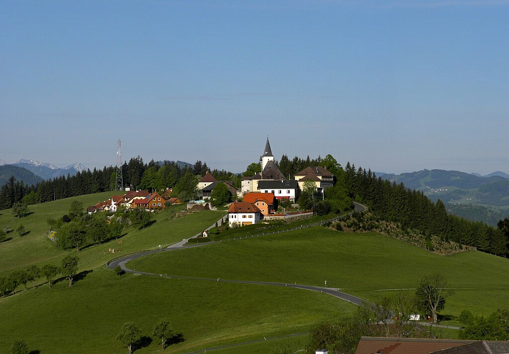
Deutsch: Blick vom Schobersberg auf Windhag |
Date | |
Source | Own work |
Author | Haeferl |
Licensing edit
- You are free:
- to share – to copy, distribute and transmit the work
- to remix – to adapt the work
- Under the following conditions:
- attribution – You must give appropriate credit, provide a link to the license, and indicate if changes were made. You may do so in any reasonable manner, but not in any way that suggests the licensor endorses you or your use.
- share alike – If you remix, transform, or build upon the material, you must distribute your contributions under the same or compatible license as the original.
The making of this work was supported by Wikimedia Austria. For other files made with the support of Wikimedia Austria, please see the category Supported by Wikimedia Österreich. |
File history
Click on a date/time to view the file as it appeared at that time.
Date/Time | Thumbnail | Dimensions | User | Comment | |
---|---|---|---|---|---|
current | 20:11, 14 May 2012 | 4,901 × 3,408 (8.7 MB) | Haeferl (talk | contribs) | Verlorengegangene Info wieder in die Exifdaten eingefügt | |
12:53, 14 May 2012 | 4,901 × 3,408 (8.7 MB) | Haeferl (talk | contribs) | kleinen Fehler ausgebessert | ||
00:57, 13 May 2012 | 4,901 × 3,408 (8.65 MB) | Haeferl (talk | contribs) |
You cannot overwrite this file.
File usage on Commons
The following 3 pages use this file:
Metadata
This file contains additional information such as Exif metadata which may have been added by the digital camera, scanner, or software program used to create or digitize it. If the file has been modified from its original state, some details such as the timestamp may not fully reflect those of the original file. The timestamp is only as accurate as the clock in the camera, and it may be completely wrong.
Camera manufacturer | NIKON |
---|---|
Camera model | COOLPIX P90 |
Copyright holder |
|
Exposure time | 10/8,467 sec (0.0011810558639424) |
F-number | f/6.3 |
ISO speed rating | 100 |
Date and time of data generation | 07:16, 9 May 2012 |
Lens focal length | 28.8 mm |
User comments | Kolor stitching | 3 pictures | Size: 5620 x 3908 | FOV: 37.53 x 26.58 ~ -0.70 | RMS: 2.37 | Lens: Standard | Projection: Planar | Color: LDR | |
Latitude | 47° 58′ 55.18″ N |
Longitude | 14° 48′ 49.84″ E |
Altitude | 698 meters above sea level |
Author | Häferl |
Online copyright statement | http://commons.wikimedia.org/wiki/User:Haeferl |
City shown | Waidhofen an der Ybbs |
Orientation | Normal |
Horizontal resolution | 72 dpi |
Vertical resolution | 72 dpi |
Software used | Adobe Photoshop Elements 8.0 Windows |
File change date and time | 21:20, 13 May 2012 |
Y and C positioning | Co-sited |
Exposure Program | Aperture priority |
Exif version | 2.2 |
Date and time of digitizing | 07:16, 9 May 2012 |
Meaning of each component |
|
Image compression mode | 4 |
APEX exposure bias | −0.6 |
Maximum land aperture | 3 APEX (f/2.83) |
Metering mode | Center weighted average |
Light source | Unknown |
Flash | Flash did not fire, compulsory flash suppression |
Supported Flashpix version | 1 |
Color space | sRGB |
File source | Digital still camera |
Scene type | A directly photographed image |
Custom image processing | Normal process |
Exposure mode | Auto bracket |
White balance | Auto white balance |
Digital zoom ratio | 0 |
Focal length in 35 mm film | 162 mm |
Scene capture type | Standard |
Scene control | Low gain up |
Contrast | Normal |
Saturation | Normal |
Sharpness | Normal |
Subject distance range | Unknown |
GPS time (atomic clock) | 03:16 |
Reference for direction of image | True direction |
Direction of image | 255.3 |
Geodetic survey data used | WGS-84 |
Latitude destination | 47° 58′ 51.56″ N |
Longitude of destination | 14° 48′ 29.24″ E |
GPS date | 9 May 2012 |
GPS tag version | 0.0.2.2 |
Supported Flashpix version | 1 |
Image width | 4,901 px |
Image height | 3,408 px |
Contact information |
http://commons.wikimedia.org/wiki/User:Haeferl
|
Keywords |
|
Date metadata was last modified | 23:20, 13 May 2012 |
Unique ID of original document | xmp.did:CBFD6D169C9BE111A66BE7C0730D3359 |
Code for country shown | AUT |
Sublocation of city shown | Windhag |
Country shown | Österreich |
Province or state shown | Niederösterreich |
IIM version | 32,146 |