File:Boggvägen i Orsa - panoramio.jpg

Size of this preview: 800 × 600 pixels. Other resolutions: 320 × 240 pixels | 640 × 480 pixels | 1,024 × 768 pixels.
Original file (1,024 × 768 pixels, file size: 355 KB, MIME type: image/jpeg)
Captions
Captions
Add a one-line explanation of what this file represents
Summary
edit
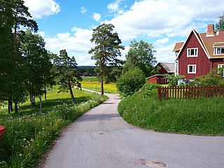
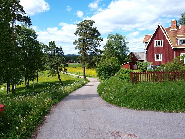
| Description | Boggvägen i Orsa | ||
| Date | Taken on 21 June 2010 | ||
| Source | https://web.archive.org/web/20161015024932/http://www.panoramio.com/photo/37426414 | ||
| Author | DalaCyklist | ||
| Permission (Reusing this file) |
This file is licensed under the Creative Commons Attribution-Share Alike 3.0 Unported license. Attribution: DalaCyklist
|
||
| Tags (from Panoramio photo page) | Orsa, Dalarna, Orsa, Sweden |
| Camera location | | View this and other nearby images on: OpenStreetMap |
|---|

|
The categories of this image need checking. You can do so here.
|
File history
Click on a date/time to view the file as it appeared at that time.
| Date/Time | Thumbnail | Dimensions | User | Comment | |
|---|---|---|---|---|---|
| current | 11:49, 14 December 2016 | | 1,024 × 768 (355 KB) | Panoramio upload bot (talk | contribs) | == {{int:filedesc}} == {{Information |description=Boggvägen i Orsa |date={{Taken on|2010-06-21}} |source=http://www.panoramio.com/photo/37426414 |author=[http://www.panoramio.com/user/4629830?with_photo_id=37426414 DalaCyklist] |permission={{cc-by-sa-... |
You cannot overwrite this file.
File usage on Commons
There are no pages that use this file.
File usage on other wikis
The following other wikis use this file:
- Usage on ang.wikipedia.org
- Usage on en.wikipedia.org
- Usage on it.wikipedia.org