File:Bork Monoplan ueber Landhaus Elise.jpg
No higher resolution available.
Bork_Monoplan_ueber_Landhaus_Elise.jpg (580 × 379 pixels, file size: 220 KB, MIME type: image/jpeg)
Captions
Captions
Add a one-line explanation of what this file represents
Summary
edit
| Description |
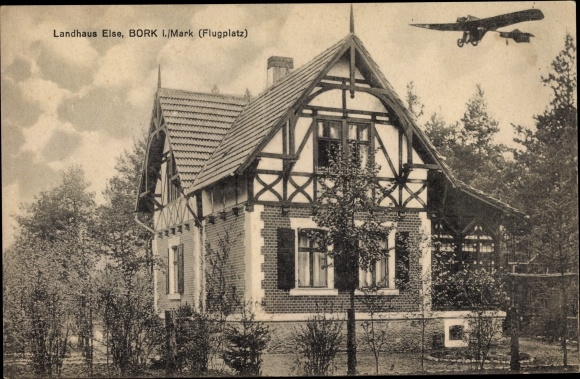
Deutsch: Erstes Landhaus 1906 in Bork ((jetzt Borkheide) des ersten Siedlers aus Berlin, Zahnarzt Dr. Kurt Schäfer. Oben rechts Monoplan 'Libelle' als damals bemerkenswerte Attraktion und Hinweis auf das Flugfeld 'Mars' |
| Date | |
| Source | Scan alter Postkarten aus Familienbesitz |
| Author | Unknown author |
| Camera location | | View this and other nearby images on: OpenStreetMap |
|---|
Lage: Heutige Schäper Str. Ecke Heidehof
Licensing
edit
| This file is made available under the Creative Commons CC0 1.0 Universal Public Domain Dedication. | |
| The person who associated a work with this deed has dedicated the work to the public domain by waiving all of their rights to the work worldwide under copyright law, including all related and neighboring rights, to the extent allowed by law. You can copy, modify, distribute and perform the work, even for commercial purposes, all without asking permission.
|
File history
Click on a date/time to view the file as it appeared at that time.
| Date/Time | Thumbnail | Dimensions | User | Comment | |
|---|---|---|---|---|---|
| current | 09:17, 30 October 2020 | | 580 × 379 (220 KB) | Kpfiwa (talk | contribs) | Uploaded a work by unbekannt from Scan alter Postkarten aus Familienbesitz with UploadWizard |
You cannot overwrite this file.
File usage on Commons
There are no pages that use this file.
File usage on other wikis
The following other wikis use this file:
- Usage on de.wikipedia.org