File:Bosnien-Herzegowina BV043564310 (cropped).jpg

Size of this preview: 542 × 599 pixels. Other resolutions: 217 × 240 pixels | 434 × 480 pixels | 694 × 768 pixels | 926 × 1,024 pixels | 1,426 × 1,577 pixels.
Original file (1,426 × 1,577 pixels, file size: 907 KB, MIME type: image/jpeg)
Captions
Captions
Add a one-line explanation of what this file represents
Summary
edit| Title |
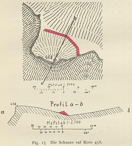
Die Schanze auf Kote 458 |
|||||||||||||||||||||||
| Description |
Deutsch: Bosnien-Herzegowina, Illyrien, Umland |
|||||||||||||||||||||||
| Date | ||||||||||||||||||||||||
| Source | Leibniz-Institut für Ost- und Südosteuropaforschung (IOS) GeoPortOst | |||||||||||||||||||||||
| Permission (Reusing this file) |
|
|||||||||||||||||||||||
| Geotemporal data | ||||||||||||||||||||||||
| Date depicted | -35 | |||||||||||||||||||||||
| Map location | Bosnien-Herzegowina | |||||||||||||||||||||||
| Map type | Plan <Kartografie> | |||||||||||||||||||||||
| Bounding box |
|
|||||||||||||||||||||||
| Georeferencing | ||||||||||||||||||||||||
| Bibliographic data | ||||||||||||||||||||||||
| Map sheet | S. 79 | |||||||||||||||||||||||
| Language | German | |||||||||||||||||||||||
| Archival data | ||||||||||||||||||||||||
| Collection |
|
|||||||||||||||||||||||
| Accession number |
BV043564310 |
|||||||||||||||||||||||
| Other versions | ||||||||||||||||||||||||


.jpg&action=edit§ion=1)
Licensing
edit.jpg&action=edit§ion=2)
|
This work is in the public domain in its country of origin and other countries and areas where the copyright term is the author's life plus 70 years or fewer. | |
| This file has been identified as being free of known restrictions under copyright law, including all related and neighboring rights. | |
File history
Click on a date/time to view the file as it appeared at that time.
| Date/Time | Thumbnail | Dimensions | User | Comment | |
|---|---|---|---|---|---|
| current | 18:38, 31 July 2023 | | 1,426 × 1,577 (907 KB) | Enyavar (talk | contribs) | File:Bosnien-Herzegowina BV043564310.jpg cropped 61 % horizontally, 68 % vertically using CropTool with precise mode. |
You cannot overwrite this file.
File usage on Commons
The following page uses this file:
.jpg&oldid=829775350)