File:Bouches-du-Rhône department relief location map 2.jpg
Size of this preview: 800 × 595 pixels. Other resolutions: 320 × 238 pixels | 640 × 476 pixels | 1,024 × 762 pixels | 1,280 × 952 pixels | 2,320 × 1,726 pixels.
Original file (2,320 × 1,726 pixels, file size: 935 KB, MIME type: image/jpeg)
Captions
Captions
Add a one-line explanation of what this file represents
Summary
edit| Description |
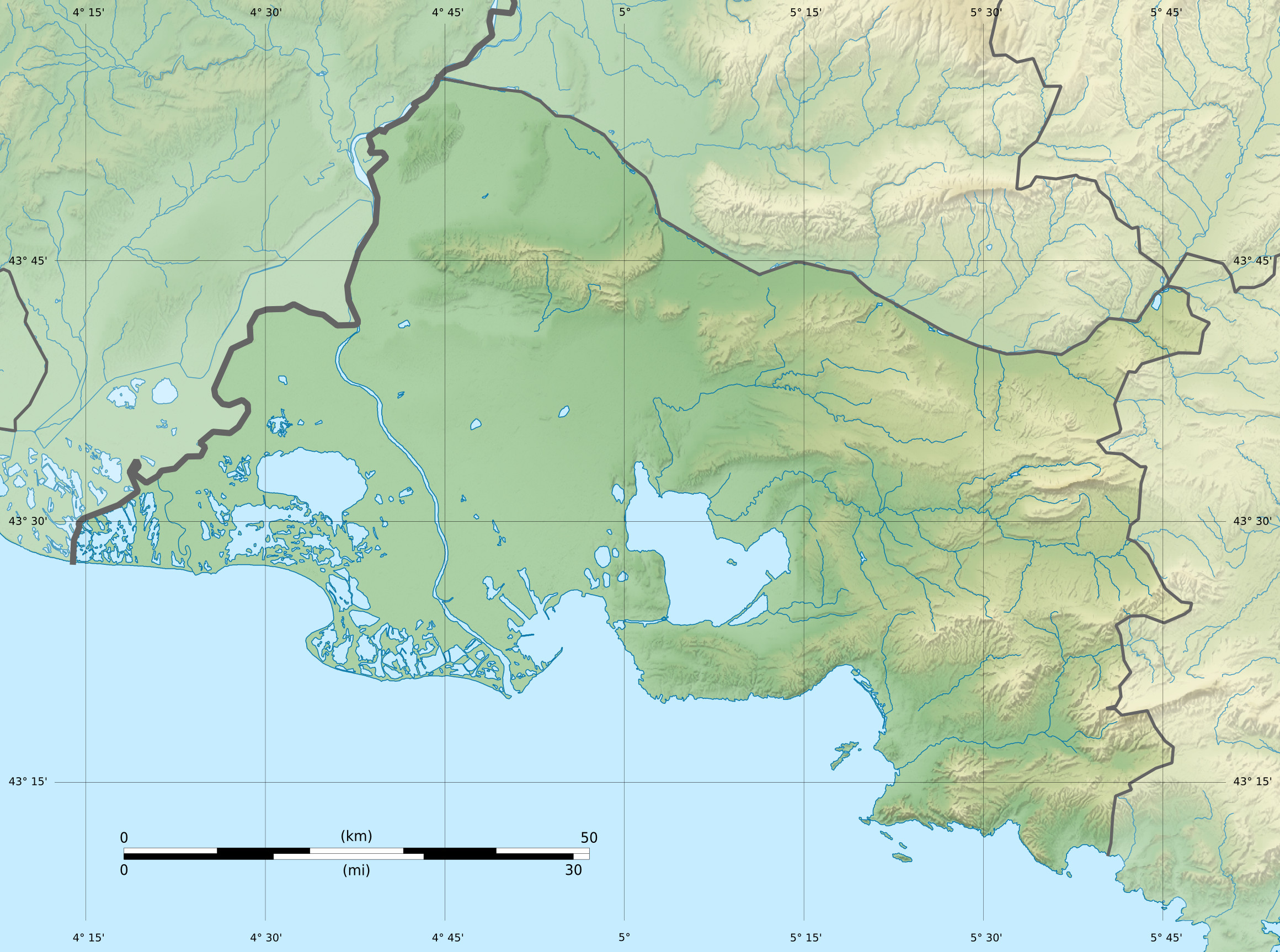
Français : Carte physique vierge du département du Bouches-du-Rhône, France, destinée à la géolocalisation. English: Blank physical map of the department of Bouches-du-Rhône, France, for geo-location purpose. Projection "Géoportail" (projection équirectangulaire à la latitude de référence 46.5° Nord)
|
| Date | |
| Source | Own work |
| Author | Flappiefh |
| Other versions |
|

Licensing
edit
I, the copyright holder of this work, hereby publish it under the following license:
This file is licensed under the Creative Commons Attribution-Share Alike 3.0 Unported license.
- You are free:
- to share – to copy, distribute and transmit the work
- to remix – to adapt the work
- Under the following conditions:
- attribution – You must give appropriate credit, provide a link to the license, and indicate if changes were made. You may do so in any reasonable manner, but not in any way that suggests the licensor endorses you or your use.
- share alike – If you remix, transform, or build upon the material, you must distribute your contributions under the same or compatible license as the original.
File history
Click on a date/time to view the file as it appeared at that time.
| Date/Time | Thumbnail | Dimensions | User | Comment | |
|---|---|---|---|---|---|
| current | 17:18, 20 June 2013 | | 2,320 × 1,726 (935 KB) | Flappiefh (talk | contribs) | User created page with UploadWizard |
You cannot overwrite this file.
File usage on Commons
The following 2 pages use this file:
File usage on other wikis
The following other wikis use this file:
- Usage on el.wikipedia.org
- Usage on fr.wikipedia.org
- Marseille
- Arles
- Camargue
- Trets
- Gardanne
- Peynier
- Rousset (Bouches-du-Rhône)
- Velaux
- Les Pennes-Mirabeau
- Cadolive
- Rognes
- Massif de Marseilleveyre
- Châteaurenard
- Cassis (Bouches-du-Rhône)
- La Penne-sur-Huveaune
- Auriol (Bouches-du-Rhône)
- La Bouilladisse
- La Ciotat
- Carnoux-en-Provence
- La Destrousse
- Fos-sur-Mer
- Gémenos
- Ensuès-la-Redonne
- Vitrolles (Bouches-du-Rhône)
- Venelles
- Vauvenargues
- Montagne Sainte-Victoire
- Géographie des Bouches-du-Rhône
- Roquepertuse
- Port-Saint-Louis-du-Rhône
- Meyreuil
- Éguilles
- Gisement de Roques-Hautes
- Mont Olympe (France)
- Grotte Cosquer
- Marignane
- Ceyreste
- Saint-Savournin
- Miramas
- Graveson
- Saint-Rémy-de-Provence
- Paradou
- Carry-le-Rouet
- Mouriès
- Martigues
- Aureille
- Eygalières
- Maussane-les-Alpilles
- Saintes-Maries-de-la-Mer
View more global usage of this file.