File:Boulders of Edoma River 3.jpg

Size of this preview: 800 × 534 pixels. Other resolutions: 320 × 214 pixels | 640 × 427 pixels | 1,024 × 683 pixels | 1,280 × 854 pixels | 2,560 × 1,708 pixels | 7,314 × 4,881 pixels.
Original file (7,314 × 4,881 pixels, file size: 38.96 MB, MIME type: image/jpeg)
Captions
Captions
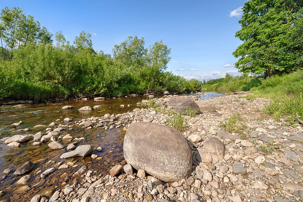
The Boulders of Edoma River.
Summary edit
| Description |
Русский: Валуны в русле реки Эдомы. Вид с юго-запада на северо-восток.
Долина р. Эдома: В пределах долины р. Эдома, Тутаевский район, Ярославская область
English: The Boulders of Edoma River. Yaroslavl Region, Russian Federation. The view is from south-west to north-east.
|
|||
| Date | Taken on 3 June 2019, 16:10:19 | |||
| Source | Own work | |||
| Author | Эдуард Косарев |
| Camera location | | View this and other nearby images on: OpenStreetMap |
|---|
Licensing edit
I, the copyright holder of this work, hereby publish it under the following license:
This file is licensed under the Creative Commons Attribution-Share Alike 4.0 International license.
- You are free:
- to share – to copy, distribute and transmit the work
- to remix – to adapt the work
- Under the following conditions:
- attribution – You must give appropriate credit, provide a link to the license, and indicate if changes were made. You may do so in any reasonable manner, but not in any way that suggests the licensor endorses you or your use.
- share alike – If you remix, transform, or build upon the material, you must distribute your contributions under the same or compatible license as the original.
This image was uploaded as part of Wiki Loves Earth 2019.
|
 |
File history
Click on a date/time to view the file as it appeared at that time.
| Date/Time | Thumbnail | Dimensions | User | Comment | |
|---|---|---|---|---|---|
| current | 17:35, 9 June 2019 | | 7,314 × 4,881 (38.96 MB) | Stoxastikos (talk | contribs) | User created page with UploadWizard |
You cannot overwrite this file.
File usage on Commons
There are no pages that use this file.