File:Bournemouth Gardens, upstream towards Prince of Wales Road - geograph.org.uk - 1654084.jpg
No higher resolution available.
Bournemouth_Gardens,_upstream_towards_Prince_of_Wales_Road_-_geograph.org.uk_-_1654084.jpg (640 × 480 pixels, file size: 135 KB, MIME type: image/jpeg)
Captions
Captions
Add a one-line explanation of what this file represents
Summary edit
| Description |
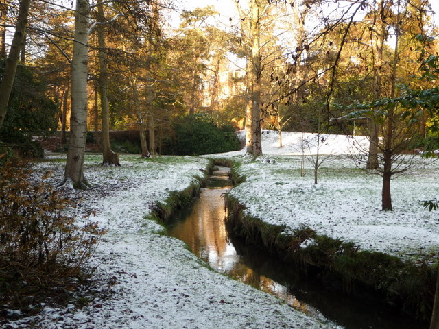
English: Bournemouth Gardens: upstream towards Prince of Wales Road The apparent bank to the left (without snow) is actually the brick wall alongside Prince of Wales Road as it crosses the Upper Gardens - see also 669466. The Bourne Stream flows through the length of the Gardens on its 2½-mile journey to the sea at Bournemouth pier. |
| Date | |
| Source | From geograph.org.uk |
| Author | Chris Downer |
| Attribution (required by the license) | Chris Downer / Bournemouth Gardens: upstream towards Prince of Wales Road / |
| Camera location | | View this and other nearby images on: OpenStreetMap |
|---|
_heading:315.00&language=en)
| Object location | | View this and other nearby images on: OpenStreetMap |
|---|
_heading:315.00&language=en)
Licensing edit

|
This image was taken from the Geograph project collection. See this photograph's page on the Geograph website for the photographer's contact details. The copyright on this image is owned by Chris Downer and is licensed for reuse under the Creative Commons Attribution-ShareAlike 2.0 license.
|
This file is licensed under the Creative Commons Attribution-Share Alike 2.0 Generic license.
Attribution: Chris Downer
- You are free:
- to share – to copy, distribute and transmit the work
- to remix – to adapt the work
- Under the following conditions:
- attribution – You must give appropriate credit, provide a link to the license, and indicate if changes were made. You may do so in any reasonable manner, but not in any way that suggests the licensor endorses you or your use.
- share alike – If you remix, transform, or build upon the material, you must distribute your contributions under the same or compatible license as the original.
File history
Click on a date/time to view the file as it appeared at that time.
| Date/Time | Thumbnail | Dimensions | User | Comment | |
|---|---|---|---|---|---|
| current | 20:29, 4 March 2011 | | 640 × 480 (135 KB) | GeographBot (talk | contribs) | == {{int:filedesc}} == {{Information |description={{en|1=Bournemouth Gardens: upstream towards Prince of Wales Road The apparent bank to the left (without snow) is actually the brick wall alongside Prince of Wales Road as it crosses the Upper Gardens s |
You cannot overwrite this file.
File usage on Commons
There are no pages that use this file.