File:Bow Lake Alberta Canada - Flickr - Richard Ricciardi.jpg
Size of this preview: 800 × 533 pixels. Other resolutions: 320 × 213 pixels | 640 × 427 pixels | 1,024 × 683 pixels | 1,280 × 853 pixels | 2,560 × 1,707 pixels | 5,760 × 3,840 pixels.
Original file (5,760 × 3,840 pixels, file size: 7.3 MB, MIME type: image/jpeg)
Captions
Captions
Add a one-line explanation of what this file represents
Summary
edit
| Description |
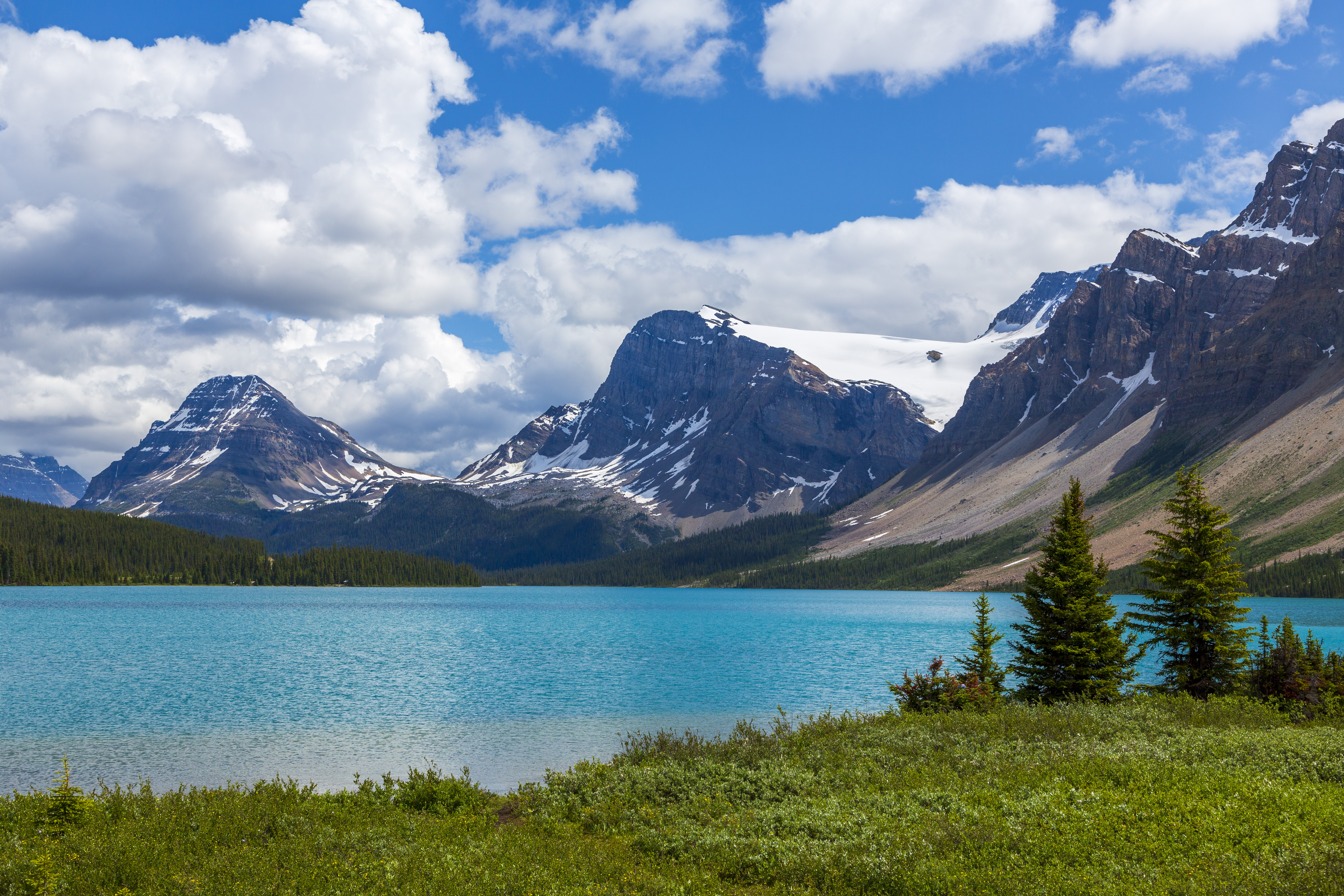
Bow Lake is a lake in western Alberta, Canada. It is located on the Bow River, in the Canadian Rockies, at an altitude of 1920 m. The lake lies south of the Bow Summit, east of the Waputik Range and west of the Dolomite Pass, Dolomite Peak and Cirque Peak. Bow Lake is one of the lakes that line the Icefields Parkway in Banff National Park and Jasper National Park. |
| Date | Taken on 16 July 2019, 17:46 |
| Source | Bow Lake Alberta Canada |
| Author | Richard Ricciardi |
| Flickr tags | bow, bow lake, alberta, canada, banff national park, jasper national park, icefields parkway |
| Camera location | | View this and other nearby images on: OpenStreetMap |
|---|
Licensing
edit
This file is licensed under the Creative Commons Attribution 2.0 Generic license.
- You are free:
- to share – to copy, distribute and transmit the work
- to remix – to adapt the work
- Under the following conditions:
- attribution – You must give appropriate credit, provide a link to the license, and indicate if changes were made. You may do so in any reasonable manner, but not in any way that suggests the licensor endorses you or your use.
| This image was originally posted to Flickr by Richard Ricciardi at https://flickr.com/photos/88634041@N02/51281681086. It was reviewed on 5 July 2021 by FlickreviewR 2 and was confirmed to be licensed under the terms of the cc-by-2.0. |
File history
Click on a date/time to view the file as it appeared at that time.
| Date/Time | Thumbnail | Dimensions | User | Comment | |
|---|---|---|---|---|---|
| current | 01:02, 5 July 2021 | | 5,760 × 3,840 (7.3 MB) | Red panda bot (talk | contribs) | In Flickr Explore: 2021-07-01 |
You cannot overwrite this file.
File usage on Commons
There are no pages that use this file.