File:Brühlgutpark.jpg
Size of this preview: 800 × 479 pixels. Other resolutions: 320 × 192 pixels | 640 × 383 pixels | 1,024 × 613 pixels | 1,280 × 766 pixels | 2,592 × 1,552 pixels.
Original file (2,592 × 1,552 pixels, file size: 1.15 MB, MIME type: image/jpeg)
Captions
Captions
Add a one-line explanation of what this file represents
| Description |
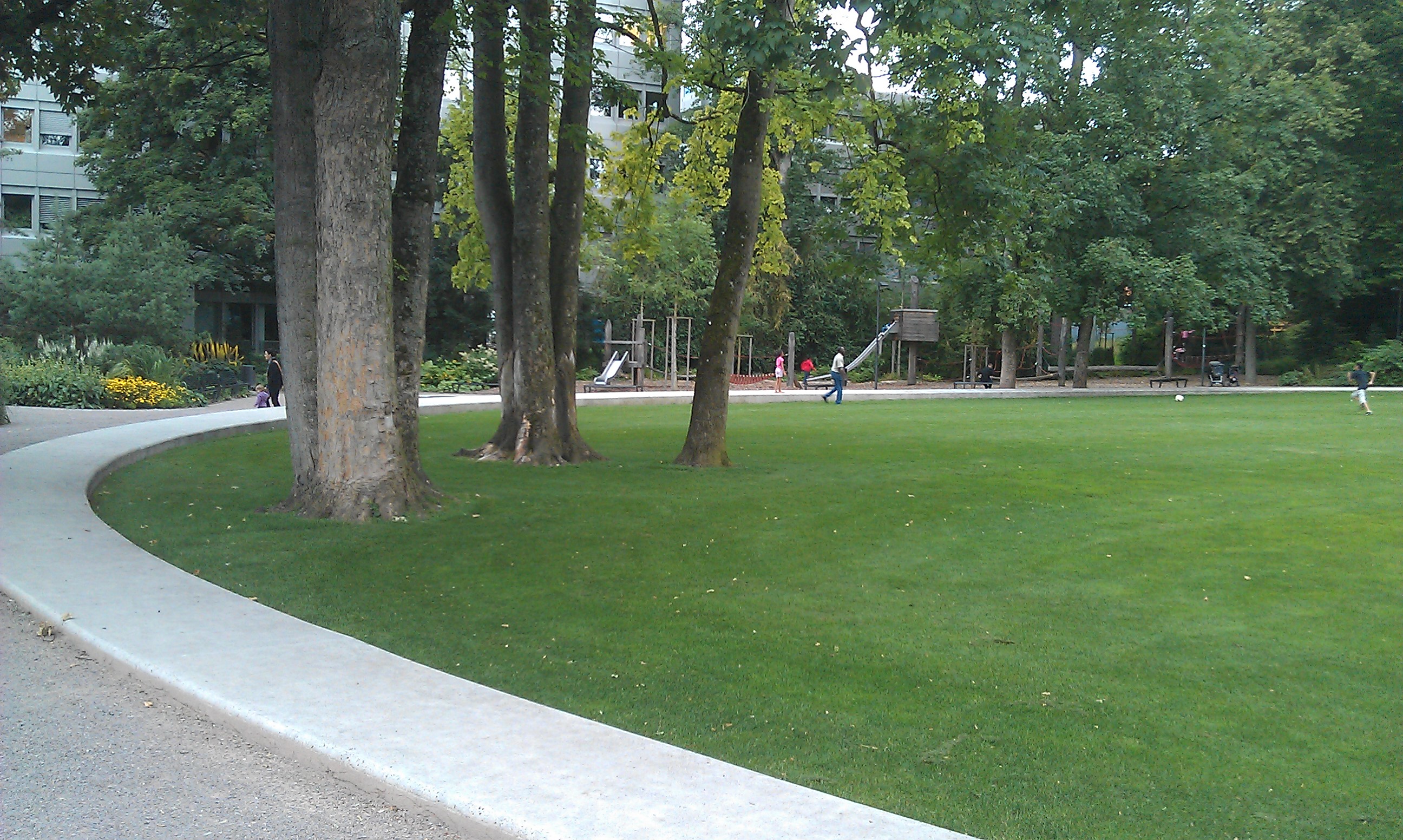
Deutsch: Brühlgutpark in Winterthur
English: Brühlgutparc in Winterthur |
| Source | Own work |
| Author | Fundriver |
| Permission (Reusing this file) |
This file is licensed under the Creative Commons Attribution-Share Alike 2.5 Switzerland license.
 |
| Camera location | | View this and other nearby images on: OpenStreetMap |
|---|
File history
Click on a date/time to view the file as it appeared at that time.
| Date/Time | Thumbnail | Dimensions | User | Comment | |
|---|---|---|---|---|---|
| current | 18:48, 25 July 2012 | | 2,592 × 1,552 (1.15 MB) | Fundriver (talk | contribs) | {{Information |Description ={{de|1=Brühlgutpark in Winterthur}} {{en|1=Brühlgutparc in Winterthur}} |Source ={{own}} |Author =Fundriver |Date = |Permission ={{cc-by-sa-2.5-ch}} |other_versions = }} |
You cannot overwrite this file.
File usage on Commons
There are no pages that use this file.
File usage on other wikis
The following other wikis use this file:
- Usage on de.wikipedia.org