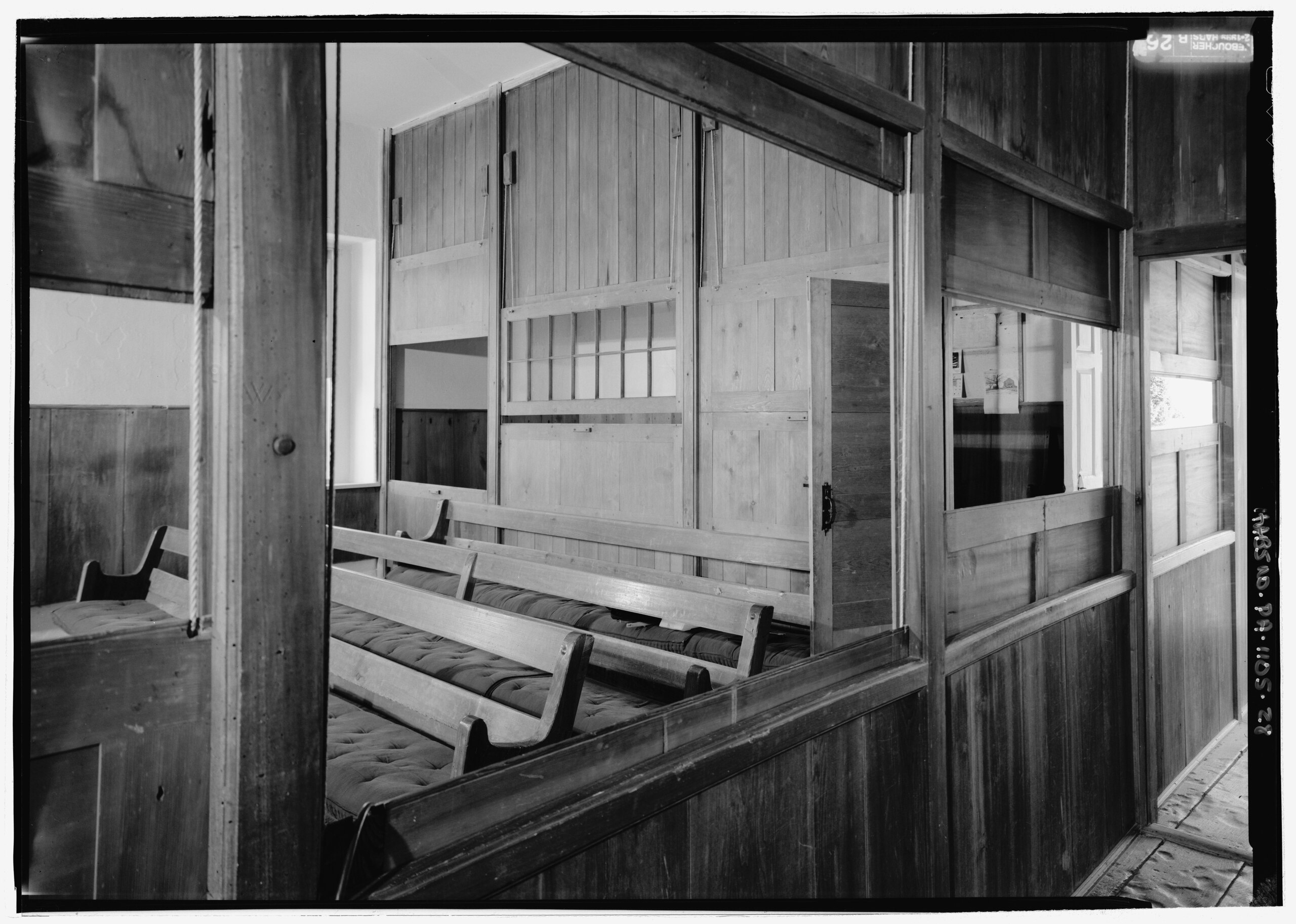
File:Bradford Friends Meeting House, Northbrook Road, West Bradford Township, Marshallton, Chester County, PA HABS PA,15-MARSH,3-28.tif

Size of this JPG preview of this TIF file: 800 × 571 pixels. Other resolutions: 320 × 228 pixels | 640 × 457 pixels | 1,024 × 730 pixels | 1,280 × 913 pixels | 2,560 × 1,826 pixels | 5,086 × 3,628 pixels.
Original file (5,086 × 3,628 pixels, file size: 17.6 MB, MIME type: image/tiff)
Captions
Captions
Add a one-line explanation of what this file represents
Summary edit
| - Bradford Friends Meeting House, Northbrook Road, West Bradford Township, Marshallton, Chester County, PA | ||||
|---|---|---|---|---|
| Photographer |
Related names:
|
|||
| Title |
- Bradford Friends Meeting House, Northbrook Road, West Bradford Township, Marshallton, Chester County, PA |
|||
| Depicted place | Pennsylvania; Chester County; Marshallton | |||
| Date | Documentation compiled after 1933 | |||
| Dimensions | 5 x 7 in. | |||
| Current location |
Library of Congress Prints and Photographs Division Washington, D.C. 20540 USA http://hdl.loc.gov/loc.pnp/pp.print |
|||
| Accession number |
HABS PA,15-MARSH,3-28 |
|||
| Credit line |
|
|||
| Notes |
|
|||
| Source | https://www.loc.gov/pictures/item/pa0292.photos.205544p | |||
| Permission (Reusing this file) |
|
|||

| Object location | | View this and other nearby images on: OpenStreetMap |
|---|
File history
Click on a date/time to view the file as it appeared at that time.
| Date/Time | Thumbnail | Dimensions | User | Comment | |
|---|---|---|---|---|---|
| current | 17:16, 2 August 2014 | 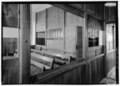 | 5,086 × 3,628 (17.6 MB) | Fæ (talk | contribs) | GWToolset: Creating mediafile for Fæ. HABS 2014-08-01 2601-2900 missing |
You cannot overwrite this file.
File usage on Commons
The following 2 pages use this file: