File:Brazil Federal District relief map.jpg
No higher resolution available.
Brazil_Federal_District_relief_map.jpg (760 × 513 pixels, file size: 481 KB, MIME type: image/jpeg)
Captions
Captions
Add a one-line explanation of what this file represents
Summary
edit
| Description |
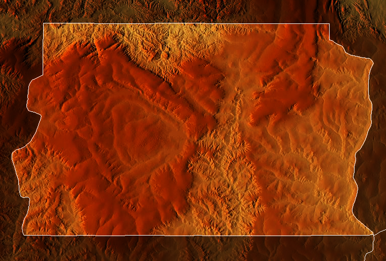
Português: Mapa topográfico do Distrito Federal, Brasil
English: Physical relief map of the Federal District, Brazil |
| Date | |
| Source |
|
| Author | |permission= |
Licensing
edit
This file is licensed under the Creative Commons Attribution-Share Alike 4.0 International license.
- You are free:
- to share – to copy, distribute and transmit the work
- to remix – to adapt the work
- Under the following conditions:
- attribution – You must give appropriate credit, provide a link to the license, and indicate if changes were made. You may do so in any reasonable manner, but not in any way that suggests the licensor endorses you or your use.
- share alike – If you remix, transform, or build upon the material, you must distribute your contributions under the same or compatible license as the original.
File history
Click on a date/time to view the file as it appeared at that time.
| Date/Time | Thumbnail | Dimensions | User | Comment | |
|---|---|---|---|---|---|
| current | 20:48, 26 February 2021 | | 760 × 513 (481 KB) | Allice Hunter (talk | contribs) | Uploaded a work by <span style="font-family:Candara; color:blue;"> '''''Allice Hunter'''''</span> |permission= from * {{Cite web|title=Maps for free – Relief Map|url=https://maps-for-free.com/}} * STRM-30 data for the relief with UploadWizard |
You cannot overwrite this file.
File usage on Commons
There are no pages that use this file.
File usage on other wikis
The following other wikis use this file:
- Usage on en.wikipedia.org
- Usage on pt.wikipedia.org
- Usage on uk.wikipedia.org