File:Brazil Mato Grosso relief map.jpg
Size of this preview: 629 × 599 pixels. Other resolutions: 252 × 240 pixels | 504 × 480 pixels | 806 × 768 pixels | 1,063 × 1,013 pixels.
Original file (1,063 × 1,013 pixels, file size: 1.19 MB, MIME type: image/jpeg)
Captions
Captions
Add a one-line explanation of what this file represents
Summary
edit
| Description |
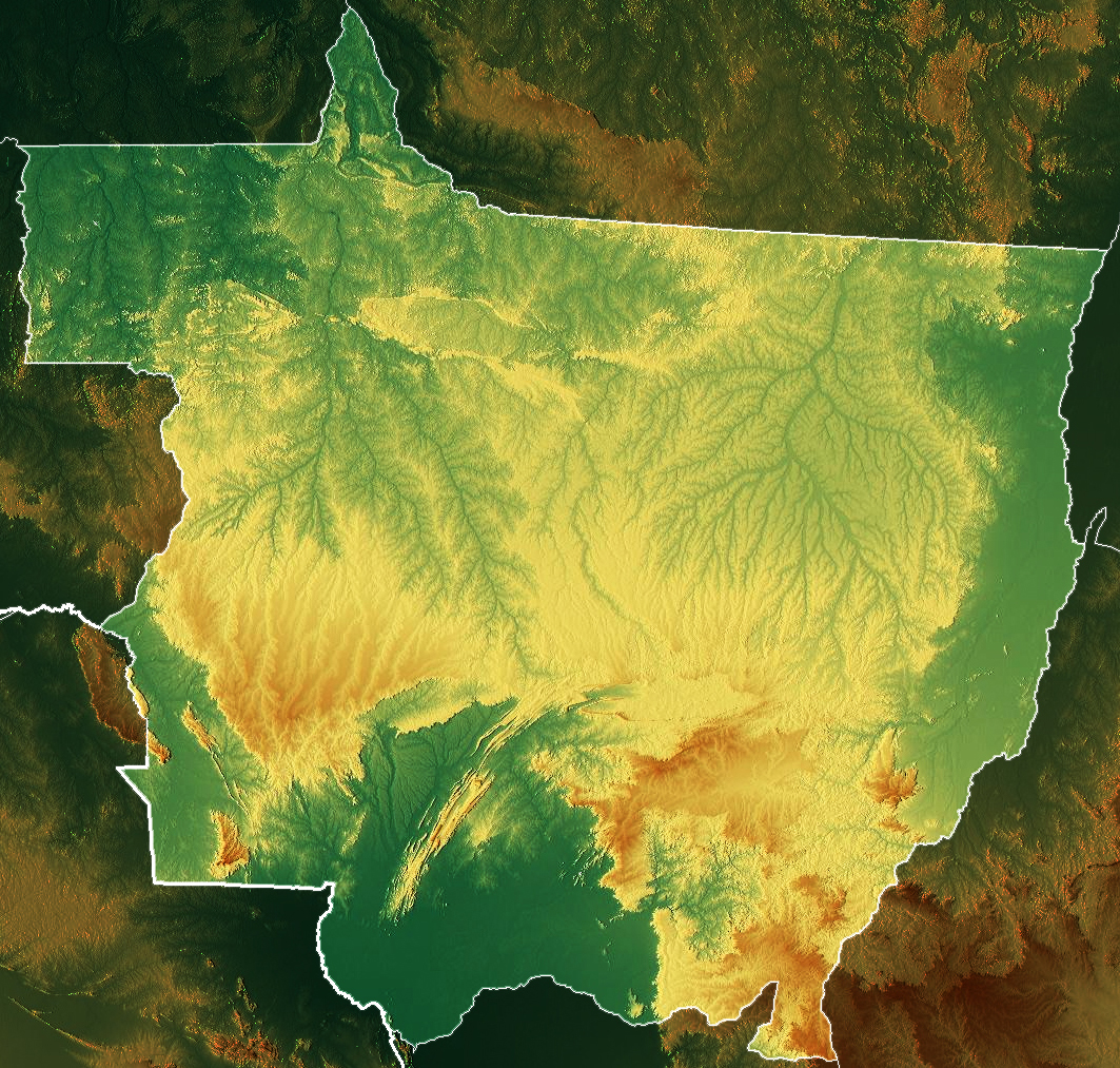
Português: Mapa topográfico de Mato Grosso, Brasil
English: Physical relief map of Mato Grosso, Brazil |
| Date | |
| Source |
|
| Author | Allice Hunter |
Licensing
edit
This file is licensed under the Creative Commons Attribution-Share Alike 4.0 International license.
- You are free:
- to share – to copy, distribute and transmit the work
- to remix – to adapt the work
- Under the following conditions:
- attribution – You must give appropriate credit, provide a link to the license, and indicate if changes were made. You may do so in any reasonable manner, but not in any way that suggests the licensor endorses you or your use.
- share alike – If you remix, transform, or build upon the material, you must distribute your contributions under the same or compatible license as the original.
File history
Click on a date/time to view the file as it appeared at that time.
| Date/Time | Thumbnail | Dimensions | User | Comment | |
|---|---|---|---|---|---|
| current | 18:09, 24 February 2021 | | 1,063 × 1,013 (1.19 MB) | Allice Hunter (talk | contribs) | improvements |
| 21:42, 23 February 2021 |  | 561 × 518 (352 KB) | Allice Hunter (talk | contribs) | Uploaded a work by <span style="font-family:Candara; color:blue;"> '''''Allice Hunter'''''</span> from * {{Cite web|title=Maps for free – Relief Map|url=https://maps-for-free.com/%7Caccess-date=2021-02-23%7Cwebsite=maps-for-free.com}} * STRM-30 data for the relief with UploadWizard |
You cannot overwrite this file.
File usage on Commons
There are no pages that use this file.
File usage on other wikis
The following other wikis use this file:
- Usage on fi.wikipedia.org
- Usage on pt.wikipedia.org
- Mato Grosso
- Lista de rios de Mato Grosso
- Geografia de Mato Grosso
- Hidrografia de Mato Grosso
- Lista de regiões geográficas intermediárias e imediatas de Mato Grosso
- Região Geográfica Intermediária de Cáceres
- Região Geográfica Intermediária de Sinop
- Região Geográfica Intermediária de Cuiabá
- Região Geográfica Intermediária de Rondonópolis
- Região Geográfica Intermediária de Barra do Garças
- Fronteira Pará–Mato Grosso
- Predefinição:Geografia de Mato Grosso
- Clima de Mato Grosso
- Fauna de Mato Grosso
- Fronteiras de Mato Grosso
- Relevo de Mato Grosso