File:Brazil Metropolitan Regions.png

Size of this preview: 583 × 600 pixels. Other resolutions: 233 × 240 pixels | 467 × 480 pixels | 747 × 768 pixels | 996 × 1,024 pixels | 1,403 × 1,443 pixels.
Original file (1,403 × 1,443 pixels, file size: 241 KB, MIME type: image/png)
Captions
Captions
Add a one-line explanation of what this file represents
Summary
edit| Description |
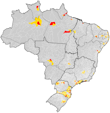
Português: Map of the municipalities of Brazil. |
||||||||
| Date | (UTC) | ||||||||
| Source | |||||||||
| Author |
|
||||||||
| Other versions |
|


| This is a retouched picture, which means that it has been digitally altered from its original version. The original can be viewed here: Brazil Municipalities.png:
|
I, the copyright holder of this work, hereby publish it under the following license:
| I, the copyright holder of this work, release this work into the public domain. This applies worldwide. In some countries this may not be legally possible; if so: I grant anyone the right to use this work for any purpose, without any conditions, unless such conditions are required by law. |
Original upload log
editThis image is a derivative work of the following images:
- File:Brazil_Municipalities.png licensed with PD-self
- 2008-01-23T18:53:28Z Rarelibra 1627x1443 (219835 Bytes) updated map
- 2006-12-03T03:10:01Z Felipe Menegaz 1281x880 (77656 Bytes) == Summary == Map of the municipalities of Brazil. Created by [[User:Rarelibra|Rarelibra]] 18:34, 24 August 2006 (UTC) for public domain use. Created using MapInfo Professional v8.5 and various mapping resources. == Licensing
Uploaded with derivativeFX
File history
Click on a date/time to view the file as it appeared at that time.


You cannot overwrite this file.
File usage on Commons
The following 4 pages use this file: