File:Brazil Parana location map.svg

Size of this PNG preview of this SVG file: 800 × 566 pixels. Other resolutions: 320 × 226 pixels | 640 × 453 pixels | 1,024 × 724 pixels | 1,280 × 905 pixels | 2,560 × 1,810 pixels | 1,540 × 1,089 pixels.
Original file (SVG file, nominally 1,540 × 1,089 pixels, file size: 767 KB)
Captions
Captions
Add a one-line explanation of what this file represents
| Description |
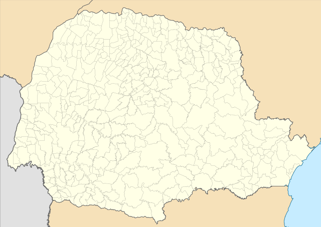
Location map of Paraná state. Equirectangular projection, N/S stretching 110 %. Geographic limits of the map:
|
| Date | (UTC) |
| Source | |
| Author |
|
I, the copyright holder of this work, hereby publish it under the following licenses:
This file is licensed under the Creative Commons Attribution 2.5 Generic license.
- You are free:
- to share – to copy, distribute and transmit the work
- to remix – to adapt the work
- Under the following conditions:
- attribution – You must give appropriate credit, provide a link to the license, and indicate if changes were made. You may do so in any reasonable manner, but not in any way that suggests the licensor endorses you or your use.
| This file is licensed under the Creative Commons Attribution-Share Alike 3.0 Unported license. | ||
| ||
| This licensing tag was added to this file as part of the GFDL licensing update. |

|
Permission is granted to copy, distribute and/or modify this document under the terms of the GNU Free Documentation License, Version 1.2 or any later version published by the Free Software Foundation; with no Invariant Sections, no Front-Cover Texts, and no Back-Cover Texts. A copy of the license is included in the section entitled GNU Free Documentation License. |
You may select the license of your choice.
Uploaded with derivativeFX
File history
Click on a date/time to view the file as it appeared at that time.
| Date/Time | Thumbnail | Dimensions | User | Comment | |
|---|---|---|---|---|---|
| current | 15:56, 18 November 2022 | | 1,540 × 1,089 (767 KB) | GrandEscogriffe (talk | contribs) | more correct north-south stretching |
| 04:38, 13 August 2011 |  | 1,540 × 990 (1.05 MB) | Milenioscuro (talk | contribs) | borders | |
| 04:36, 13 August 2011 |  | 1,540 × 990 (1.05 MB) | Milenioscuro (talk | contribs) | {{Information |Description=Location map of Paraná state |Source=*File:Parana_MesoMicroMunicip.svg |Date=2011-08-13 04:35 (UTC) |Author=*File:Parana_MesoMicroMunicip.svg: Raphael Lorenzeto de Abreu *derivative work: ~~~ |Permission= |other_ver |
You cannot overwrite this file.
File usage on Commons
The following 21 pages use this file:
- File:Mapa do IDH do Paraná (2010).svg
- Category:Airports in Paraná
- Category:Association football clubs in Paraná
- Category:Association football venues in Paraná
- Category:Births in Paraná
- Category:Bridges in Paraná
- Category:Canyons of Paraná
- Category:Companies of Paraná
- Category:Dams in Paraná
- Category:Deaths in Paraná
- Category:Education in Paraná
- Category:Hospitals in Paraná
- Category:Maps of Paraná
- Category:Painters from Paraná
- Category:Paraná
- Category:People of Paraná
- Category:Rail transport in Paraná
- Category:Sculptors from Paraná
- Category:State parks in Paraná
- Category:Train stations in Paraná
- Category:Visitor attractions in Paraná
.svg)
File usage on other wikis
The following other wikis use this file:
- Usage on de.wikipedia.org
- Usage on en.wikipedia.org
- Foz do Iguaçu International Airport
- Afonso Pena International Airport
- Maringá Regional Airport
- Vista Alegre crater
- Avelino Vieira Airport
- União da Vitória Airport
- Guaíra Falls
- Pedreira Paulo Leminski
- Apucarana Airport
- Bacacheri Airport
- Castrolanda
- Londrina Airport
- Cascavel Airport
- Ponta Grossa Airport
- Arapongas Airport
- Guarapuava Airport
- Telêmaco Borba Airport
- Umuarama Airport
- Francisco Beltrão Airport
- Porecatu Airport
- Toledo Airport (Brazil)
- Pato Branco Airport
- Guaíra Airport
- Paranaguá Airport
- Paranavaí Airport
- Cornélio Procópio Airport
- Gastão Mesquita Airport
- Mesquita Omar Ibn Al-Khatab
- Campo Mourão Airport
- Module:Location map/data/Paraná
- Module:Location map/data/Paraná/doc
- Usage on es.wikipedia.org
- Estado de Paraná
- Curitiba
- Foz do Iguaçu
- Aeropuerto Internacional Afonso Pena
- Salto Santa Rosa
- Brasilândia do Sul
- Aeropuerto Internacional de Foz do Iguaçu
- Salto São Francisco
- Wikiproyecto:Ilustración/Taller de Cartografía/Realizaciones/América del Sur
- Plantilla:Mapa de localización de Paraná
- Cruzmaltina
- Floresta (Paraná)
- Quatro Pontes
- Puerto de Paranaguá
- Aeropuerto de Londrina
- Morretes
- Usage on fa.wikipedia.org
View more global usage of this file.