File:Brazil Rio de Janeiro location map.svg

Size of this PNG preview of this SVG file: 772 × 600 pixels. Other resolutions: 309 × 240 pixels | 618 × 480 pixels | 988 × 768 pixels | 1,280 × 995 pixels | 2,560 × 1,989 pixels | 960 × 746 pixels.
Original file (SVG file, nominally 960 × 746 pixels, file size: 222 KB)
Captions
Captions
Add a one-line explanation of what this file represents
| Description |
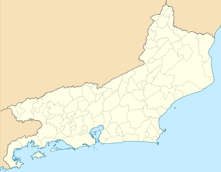
Location map of Rio de Janeiro state. Equirectangular projection, N/S stretching 108 %. Geographic limits of the map:
|
| Date | (UTC) |
| Source | |
| Author |
|
I, the copyright holder of this work, hereby publish it under the following licenses:
This file is licensed under the Creative Commons Attribution 2.5 Generic license.
- You are free:
- to share – to copy, distribute and transmit the work
- to remix – to adapt the work
- Under the following conditions:
- attribution – You must give appropriate credit, provide a link to the license, and indicate if changes were made. You may do so in any reasonable manner, but not in any way that suggests the licensor endorses you or your use.
| This file is licensed under the Creative Commons Attribution-Share Alike 3.0 Unported license. | ||
| ||
| This licensing tag was added to this file as part of the GFDL licensing update. |

|
Permission is granted to copy, distribute and/or modify this document under the terms of the GNU Free Documentation License, Version 1.2 or any later version published by the Free Software Foundation; with no Invariant Sections, no Front-Cover Texts, and no Back-Cover Texts. A copy of the license is included in the section entitled GNU Free Documentation License. |
You may select the license of your choice.
Uploaded with derivativeFX
File history
Click on a date/time to view the file as it appeared at that time.
| Date/Time | Thumbnail | Dimensions | User | Comment | |
|---|---|---|---|---|---|
| current | 18:20, 18 November 2022 | | 960 × 746 (222 KB) | GrandEscogriffe (talk | contribs) | more correct north-south stretching |
| 04:57, 13 August 2011 |  | 960 × 691 (324 KB) | Milenioscuro (talk | contribs) | {{Information |Description=Location map of Rio de Janeiro state |Source=*File:RiodeJaneiro_MesoMicroMunicip.svg |Date=2011-08-13 04:56 (UTC) |Author=*File:RiodeJaneiro_MesoMicroMunicip.svg: Raphael Lorenzeto de Abreu *derivative work: ~~~ |Per |
You cannot overwrite this file.
File usage on Commons
The following 26 pages use this file:
- File:Mapa do IDH do Rio de Janeiro (2010).svg
- Category:Airports in Rio de Janeiro (state)
- Category:Association football venues in Rio de Janeiro
- Category:Births in Rio de Janeiro (state)
- Category:Bridges in Rio de Janeiro (state)
- Category:Deaths in Rio de Janeiro (state)
- Category:Education in Rio de Janeiro (state)
- Category:Female models from Rio de Janeiro (state)
- Category:Flora of Rio de Janeiro
- Category:Journalists from Rio de Janeiro (state)
- Category:Lawyers from Rio de Janeiro (state)
- Category:Lighthouses in Rio de Janeiro
- Category:Maps of Rio de Janeiro (state)
- Category:Painters from Rio de Janeiro (state)
- Category:People of Rio de Janeiro (state)
- Category:Rail transport in Rio de Janeiro (state)
- Category:Railway bridges in Rio de Janeiro
- Category:Rio de Janeiro (state)
- Category:Sculptors from Rio de Janeiro (state)
- Category:Sports in Rio de Janeiro (state)
- Category:Sportspeople from Rio de Janeiro
- Category:Train stations in Rio de Janeiro (state)
- Category:Transport in Rio de Janeiro (state)
- Category:Views of Rio de Janeiro (state)
- Category:Visitor attractions in Rio de Janeiro
- Category:Writers from Rio de Janeiro (state)
.svg)
File usage on other wikis
The following other wikis use this file:
- Usage on da.wikipedia.org
- Usage on de.wikipedia.org
- Usage on en.wikipedia.org
- Rio de Janeiro/Galeão International Airport
- Santos Dumont Airport
- Maricá Airport
- Cabo Frio International Airport
- Bartolomeu Lysandro Airport
- Macaé Airport
- Santa Cruz Air Force Base
- Jacarepaguá Airport
- Galeão Air Force Base
- Afonsos Air Force Base
- Muriqui, Mangaratiba
- Resende Airport
- Umberto Modiano Airport
- Module:Location map/data/Brazil Rio de Janeiro State
- Module:Location map/data/Brazil Rio de Janeiro State/doc
- Angra dos Reis Airport
- Paraty Airport
- Itaperuna Airport
- 2023 Campeonato Carioca
- 2024 Campeonato Carioca
- Usage on eo.wikipedia.org
- Usage on es.wikipedia.org
- Río de Janeiro
- Estado de Río de Janeiro
- Bahía de Guanabara
- Aeropuerto Internacional de Galeão
- Aeropuerto Santos Dumont
- Wikiproyecto:Ilustración/Taller de Cartografía/Realizaciones/América del Sur
- Islas Cagarras
- Paquetá
- Plantilla:Mapa de localización de Río de Janeiro
- Saquarema
- Macuco (Río de Janeiro)
- Cabo de São Tomé
- Iglesia de la Candelaria (Río de Janeiro)
- Puerto de Río de Janeiro
- Nilópolis
- Italva
- Santa Maria Madalena
- Trajano de Moraes
- Usage on frr.wikipedia.org
View more global usage of this file.