File:Bridge of the Americas and US Border Station at El Paso Texas, aerial view.jpg
Size of this preview: 800 × 533 pixels. Other resolutions: 320 × 213 pixels | 640 × 427 pixels | 1,024 × 683 pixels | 1,280 × 853 pixels | 2,560 × 1,707 pixels | 3,072 × 2,048 pixels.
Original file (3,072 × 2,048 pixels, file size: 742 KB, MIME type: image/jpeg)
Captions
Captions
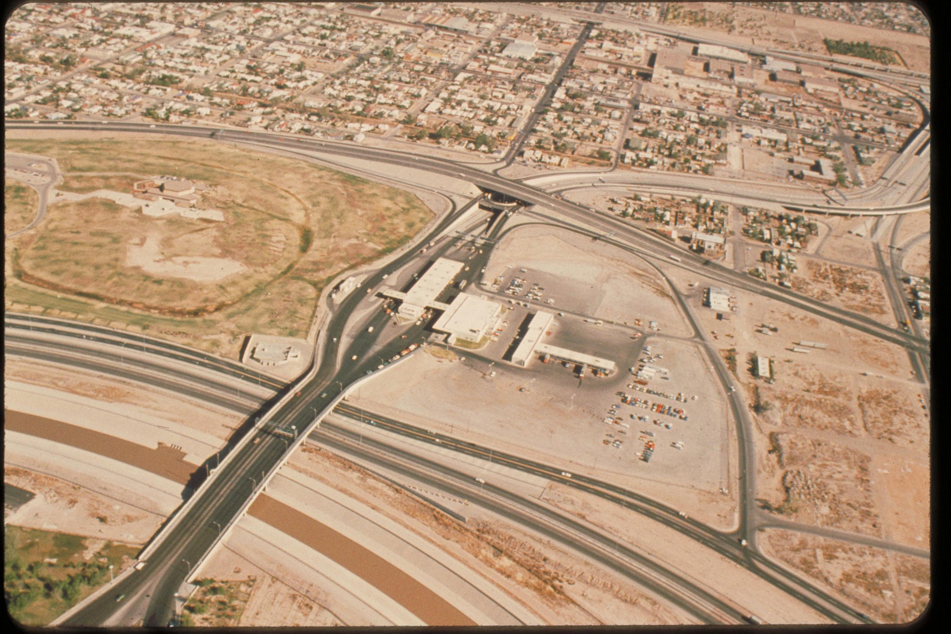
Bridge of the Americas and US Border Station at El Paso Texas, aerial view
Summary edit
| English: Bridge of the Americas and US Border Station at El Paso Texas. | ||||
|---|---|---|---|---|
| Photographer |
English: NPS staff |
|||
| Title |
English: Bridge of the Americas and US Border Station at El Paso Texas. |
|||
| Publisher |
English: National Park Service |
|||
| Description |
English: Aerial view. Bridge of the Americas and US Border Station at El Paso Texas. Notes: Source and metadata state that photo is of Chalmette Battlefield & Cemetery in Louisiana, which it is clearly not. Location identified as Bridge of the Americas border at El Paso Texas. |
|||
| Depicted place |
English: El Paso, Texas |
|||
| Date | Taken on 5 January 2004 | |||
| Accession number | ||||
| Source |
English: NPGallery |
|||
| Permission (Reusing this file) |
|
|||
| NPS Unit Code | JELA | |||
| Legacy NPS Focus Record ID | 231490 | |||
File history
Click on a date/time to view the file as it appeared at that time.
| Date/Time | Thumbnail | Dimensions | User | Comment | |
|---|---|---|---|---|---|
| current | 23:50, 6 July 2019 | | 3,072 × 2,048 (742 KB) | BMacZeroBot (talk | contribs) | Batch upload (Commons:Batch uploading/NPGallery) |
You cannot overwrite this file.
File usage on Commons
The following 2 pages use this file:
.jpg&redirect=no)