File:Bridleway crossing the Nant Rhydyfelin - geograph.org.uk - 1211140.jpg
Size of this preview: 800 × 600 pixels. Other resolutions: 320 × 240 pixels | 640 × 480 pixels | 1,024 × 768 pixels.
Original file (1,024 × 768 pixels, file size: 1.06 MB, MIME type: image/jpeg)
Captions
Captions
Add a one-line explanation of what this file represents
Summary edit
| Description |
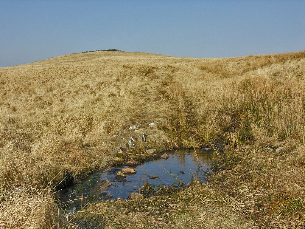
English: Bridleway crossing the Nant Rhydyfelin There is a surprising amount of water flowing in the stream, testimony to the boggy nature of some of the uplands. The summit of Cistfaen can be seen in the distance. |
| Date | |
| Source | From geograph.org.uk |
| Author | Nigel Brown |
| Attribution (required by the license) | Nigel Brown / Bridleway crossing the Nant Rhydyfelin / |
| Camera location | | View this and other nearby images on: OpenStreetMap |
|---|
_heading:45.00&language=en)
| Object location | | View this and other nearby images on: OpenStreetMap |
|---|
_heading:45.00&language=en)
Licensing edit

|
This image was taken from the Geograph project collection. See this photograph's page on the Geograph website for the photographer's contact details. The copyright on this image is owned by Nigel Brown and is licensed for reuse under the Creative Commons Attribution-ShareAlike 2.0 license.
|
This file is licensed under the Creative Commons Attribution-Share Alike 2.0 Generic license.
Attribution: Nigel Brown
- You are free:
- to share – to copy, distribute and transmit the work
- to remix – to adapt the work
- Under the following conditions:
- attribution – You must give appropriate credit, provide a link to the license, and indicate if changes were made. You may do so in any reasonable manner, but not in any way that suggests the licensor endorses you or your use.
- share alike – If you remix, transform, or build upon the material, you must distribute your contributions under the same or compatible license as the original.
File history
Click on a date/time to view the file as it appeared at that time.
| Date/Time | Thumbnail | Dimensions | User | Comment | |
|---|---|---|---|---|---|
| current | 23:43, 22 July 2021 | | 1,024 × 768 (1.06 MB) | Geograph Update Bot (talk | contribs) | Higher-resolution version from Geograph |
| 06:07, 26 February 2011 |  | 640 × 480 (140 KB) | GeographBot (talk | contribs) | == {{int:filedesc}} == {{Information |description={{en|1=Bridleway crossing the Nant Rhydyfelin There is a surprising amount of water flowing in the stream, testimony to the boggy nature of some of the uplands. The summit of Cistfaen can be seen in the di |
You cannot overwrite this file.
File usage on Commons
The following page uses this file: