File:British Isles and France location map.png
No higher resolution available.
British_Isles_and_France_location_map.png (292 × 436 pixels, file size: 58 KB, MIME type: image/png)
Captions
Captions
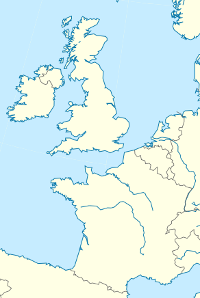
Location map of France and the British Isles
Summary edit
| Description |
English: Location map of France and the British Isles, with political borders |
| Date | |
| Source | Derived from File:Europe position map 4.svg |
| Author | Blackcat |
| Permission (Reusing this file) |
This file is licensed under the Creative Commons Attribution-Share Alike 4.0 International license.
|
| Other versions |

File history
Click on a date/time to view the file as it appeared at that time.
| Date/Time | Thumbnail | Dimensions | User | Comment | |
|---|---|---|---|---|---|
| current | 10:33, 21 November 2019 | | 292 × 436 (58 KB) | Blackcat (talk | contribs) | User created page with UploadWizard |
You cannot overwrite this file.
File usage on Commons
There are no pages that use this file.
File usage on other wikis
The following other wikis use this file:
- Usage on fr.wikipedia.org
- Usage on it.wikipedia.org