File:Britsih Columbia outline.PNG

Size of this preview: 791 × 600 pixels. Other resolutions: 317 × 240 pixels | 633 × 480 pixels | 806 × 611 pixels.
Original file (806 × 611 pixels, file size: 36 KB, MIME type: image/png)
Captions
Captions
Add a one-line explanation of what this file represents
Summary
edit
| Description |
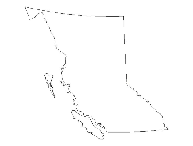
English: Outline of the province of British Columbia, Canada. |
| Date | |
| Source | Own work |
| Author | Urban Walnut |
| Other versions | Derivative works of this file: Graham Island BC.PNG |
Licensing
edit
| I, the copyright holder of this work, release this work into the public domain. This applies worldwide. In some countries this may not be legally possible; if so: I grant anyone the right to use this work for any purpose, without any conditions, unless such conditions are required by law. |
File history
Click on a date/time to view the file as it appeared at that time.
| Date/Time | Thumbnail | Dimensions | User | Comment | |
|---|---|---|---|---|---|
| current | 03:34, 22 July 2008 | | 806 × 611 (36 KB) | Urban Walnut (talk | contribs) | {{Information |Description={{en|1=Outline of the province of British Columbia, Canada.}} |Source=Own work by uploader |Author=Urban Walnut |Date=21 July 2008 |Permission= |other_versions= }} {{ImageUpload|full}} [[Category:Maps of B |
You cannot overwrite this file.
File usage on Commons
The following page uses this file: