File:Broad St Sta Newark tower jeh.jpg
Size of this preview: 663 × 600 pixels. Other resolutions: 265 × 240 pixels | 530 × 480 pixels | 849 × 768 pixels | 1,132 × 1,024 pixels | 2,263 × 2,048 pixels | 3,533 × 3,197 pixels.
Original file (3,533 × 3,197 pixels, file size: 867 KB, MIME type: image/jpeg)
Captions
Captions
Add a one-line explanation of what this file represents
|
This is an image of a place or building that is listed on the National Register of Historic Places in the United States of America. Its reference number is 84002662. |
Summary
edit
| Description |
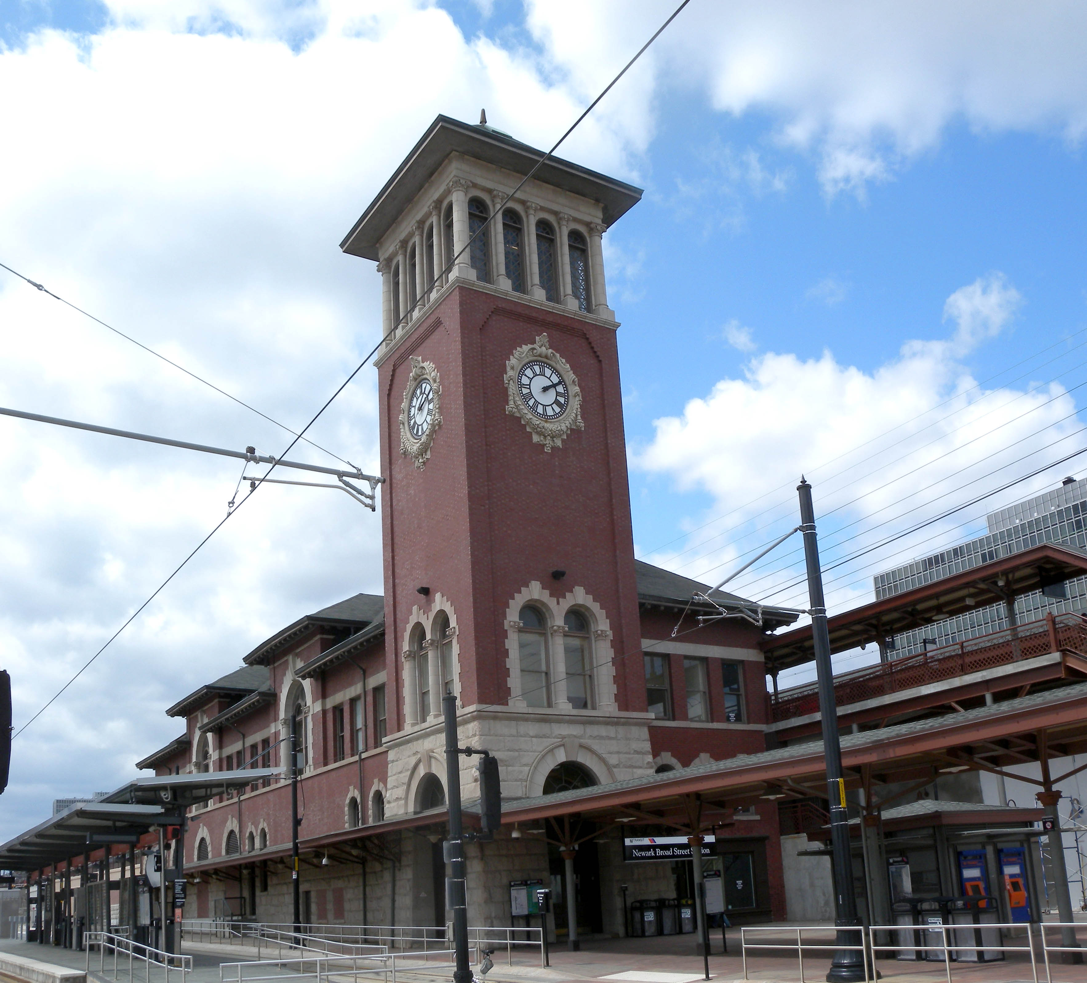
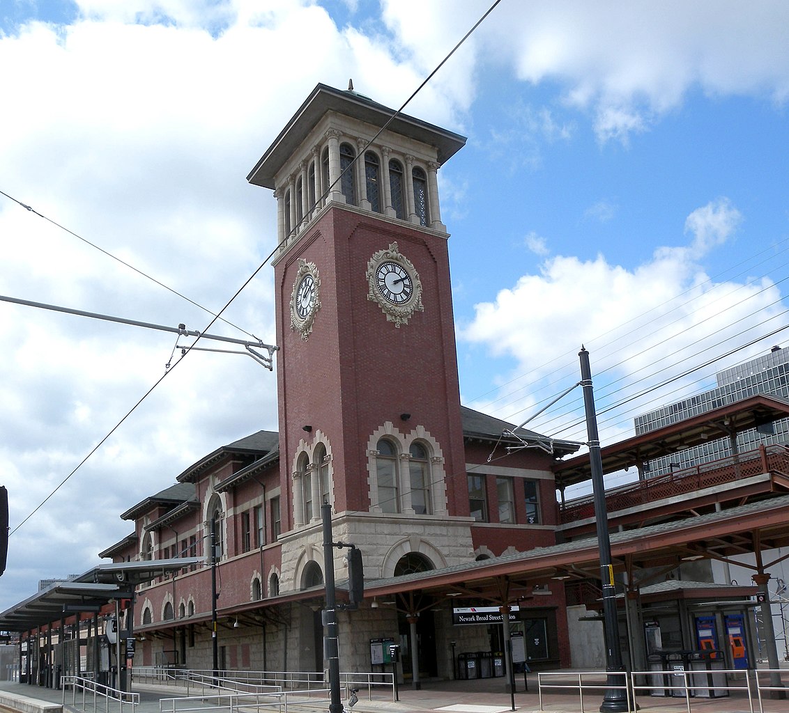
English: Looking west from Broad Street at Newark railroad station on a sunny midday. |
| Date | |
| Source | Own work |
| Author | Jim.henderson |
| Camera location | | View this and other nearby images on: OpenStreetMap |
|---|
Licensing
edit
| I, the copyright holder of this work, release this work into the public domain. This applies worldwide. In some countries this may not be legally possible; if so: I grant anyone the right to use this work for any purpose, without any conditions, unless such conditions are required by law. |
File history
Click on a date/time to view the file as it appeared at that time.
| Date/Time | Thumbnail | Dimensions | User | Comment | |
|---|---|---|---|---|---|
| current | 22:09, 19 May 2009 | | 3,533 × 3,197 (867 KB) | Jim.henderson (talk | contribs) | {{Information |Description={{en|1=Looking west from Broad Street at Newark railroad station on a sunny midday. Category:Newark Light Rail Category:National Register of Historic Places in New Jersey}} |Source=Own work by uploader |Author=[[User:Ji |
You cannot overwrite this file.
File usage on Commons
The following page uses this file:
File usage on other wikis
The following other wikis use this file:
- Usage on en.wikipedia.org
- Usage on es.wikipedia.org
- Usage on it.wikipedia.org
- Usage on it.wikivoyage.org
- Usage on pnb.wikipedia.org
- Usage on ur.wikipedia.org
- Usage on www.wikidata.org