File:Brooks Range.png
No higher resolution available.
Brooks_Range.png (637 × 369 pixels, file size: 410 KB, MIME type: image/png)
Captions
Captions
Add a one-line explanation of what this file represents
Summary edit
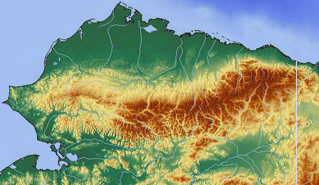
| Description | Brooks Range, Alaska |
| Source | maps-for-free.com |
| Author | own work |
| Permission (Reusing this file) |
CC-SA-3.0 |
| Other versions |
|
Licensing edit
This file is licensed under the Creative Commons Attribution-Share Alike 3.0 Unported license.
- You are free:
- to share – to copy, distribute and transmit the work
- to remix – to adapt the work
- Under the following conditions:
- attribution – You must give appropriate credit, provide a link to the license, and indicate if changes were made. You may do so in any reasonable manner, but not in any way that suggests the licensor endorses you or your use.
- share alike – If you remix, transform, or build upon the material, you must distribute your contributions under the same or compatible license as the original.
File history
Click on a date/time to view the file as it appeared at that time.
| Date/Time | Thumbnail | Dimensions | User | Comment | |
|---|---|---|---|---|---|
| current | 13:31, 19 March 2008 | | 637 × 369 (410 KB) | Aconcagua (talk | contribs) | {{Information |Description=Brooks Range, Alaska |Source=[http://www.maps-for-free.com maps-for-free.com] |Date= |Author=own work |Permission=CC-SA-3.0 |other_versions= }} Category:Maps of Alaska Category:Brooks Range |
You cannot overwrite this file.
File usage on Commons
The following page uses this file:
File usage on other wikis
The following other wikis use this file:
- Usage on bg.wikipedia.org
- Usage on it.wikipedia.org
- Usage on no.wikipedia.org
- Usage on pl.wikipedia.org