File:Buckton Cliff Triangulation Pillar - geograph.org.uk - 249825.jpg
No higher resolution available.
Buckton_Cliff_Triangulation_Pillar_-_geograph.org.uk_-_249825.jpg (640 × 492 pixels, file size: 136 KB, MIME type: image/jpeg)
Captions
Captions
Add a one-line explanation of what this file represents
Summary
edit
| Description |
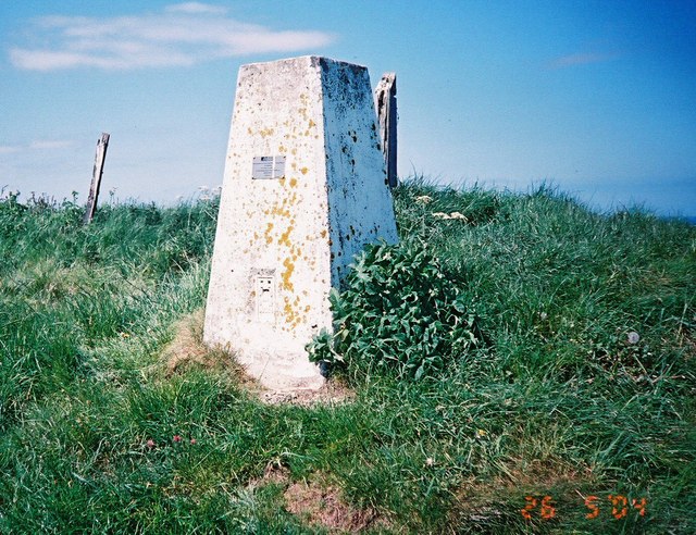
English: Buckton Cliff Triangulation Pillar, north west of Buckton, East Riding of Yorkshire, England. OS Pillar S6326 used as part of OS GPS measuring system. RSPB bird sanctuary to the east of the pillar with several hundred guillemots and puffins. |
| Date | |
| Source | From geograph.org.uk |
| Author | manonabike |
| Permission (Reusing this file) |
Creative Commons Attribution Share-alike license 2.0 |
| Attribution (required by the license) | manonabike / Buckton Cliff Triangulation Pillar / |
| Object location | | View this and other nearby images on: OpenStreetMap |
|---|
_heading:0.00&language=en)
Licensing
edit

|
This image was taken from the Geograph project collection. See this photograph's page on the Geograph website for the photographer's contact details. The copyright on this image is owned by manonabike and is licensed for reuse under the Creative Commons Attribution-ShareAlike 2.0 license.
|
This file is licensed under the Creative Commons Attribution-Share Alike 2.0 Generic license.
Attribution: manonabike
- You are free:
- to share – to copy, distribute and transmit the work
- to remix – to adapt the work
- Under the following conditions:
- attribution – You must give appropriate credit, provide a link to the license, and indicate if changes were made. You may do so in any reasonable manner, but not in any way that suggests the licensor endorses you or your use.
- share alike – If you remix, transform, or build upon the material, you must distribute your contributions under the same or compatible license as the original.
File history
Click on a date/time to view the file as it appeared at that time.
| Date/Time | Thumbnail | Dimensions | User | Comment | |
|---|---|---|---|---|---|
| current | 22:50, 31 January 2010 | | 640 × 492 (136 KB) | GeographBot (talk | contribs) | == {{int:filedesc}} == {{Information |description={{en|1=Buckton Cliff Triangulation Pillar. OS Pillar S6326 used as part of OS GPS measuring system. RSPB bird sanctuary to the east of the pillar with several hundred guillemots and puffins.}} |date=2006-0 |
You cannot overwrite this file.
File usage on Commons
There are no pages that use this file.