File:Buenos Aires Province Location.png
No higher resolution available.
Buenos_Aires_Province_Location.png (549 × 599 pixels, file size: 136 KB, MIME type: image/png)
Captions
Captions
Add a one-line explanation of what this file represents
Summary edit

|
File:Argentina Buenos Aires location map.svg is a vector version of this file. It should be used in place of this PNG file when not inferior.
File:Buenos Aires Province Location.png → File:Argentina Buenos Aires location map.svg
For more information, see Help:SVG. |
 |
| Description |
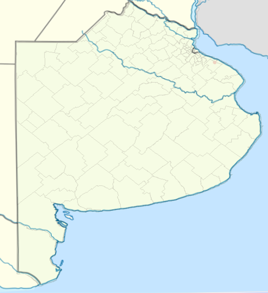
English: It shows administrative division of Buenos Aires province, and its boundaries. Adapted from File:BuenosAiresProvinceblank.png and File:Argentina location map.svg |
| Date | 24 December 2010 (original upload date) |
| Source | Transferred from en.wikipedia to Commons. |
| Author | Bleff at English Wikipedia |
Licensing edit
| This work has been released into the public domain by its author, Bleff at English Wikipedia. This applies worldwide. In some countries this may not be legally possible; if so: Bleff grants anyone the right to use this work for any purpose, without any conditions, unless such conditions are required by law. |
Original upload log edit
The original description page was here. All following user names refer to en.wikipedia.
- 2010-12-24 18:58 Bleff 549×599× (138821 bytes) It shows administrative division of Buenos Aires province, and its boundaries. Adapted from [[:File:BuenosAiresProvinceblank.png]] and [[:File:Argentina location map.svg]] == {{int:license}} == {{PD-self}} [[Category:Maps of Buenos Aires Province]]
File history
Click on a date/time to view the file as it appeared at that time.
| Date/Time | Thumbnail | Dimensions | User | Comment | |
|---|---|---|---|---|---|
| current | 21:23, 25 December 2010 | | 549 × 599 (136 KB) | Obersachse (talk | contribs) | {{Information |Description={{en|It shows administrative division of Buenos Aires province, and its boundaries. Adapted from en::File:BuenosAiresProvinceblank.png and en::File:Argentina location map.svg == {{int:license}} == [[:en:Category:M |
You cannot overwrite this file.
File usage on Commons
There are no pages that use this file.
File usage on other wikis
The following other wikis use this file:
- Usage on de.wikipedia.org