File:Bukhara districts.png

Size of this preview: 800 × 582 pixels. Other resolutions: 320 × 233 pixels | 640 × 466 pixels | 1,024 × 745 pixels | 1,280 × 931 pixels | 2,004 × 1,458 pixels.
Original file (2,004 × 1,458 pixels, file size: 36 KB, MIME type: image/png)
Captions
Captions
Add a one-line explanation of what this file represents
Summary
edit
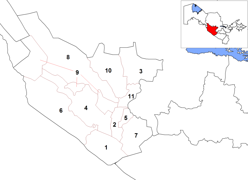
| Description | Map of the districts (tuman) of the province (viloyat) of Bukhara in Uzbekistan. |
| Date | 20 October 2008 (original upload date) |
| Source | No machine-readable source provided. Own work assumed (based on copyright claims). |
| Author | No machine-readable author provided. Rarelibra assumed (based on copyright claims). |
derivative works
edit
Derivative works of this file: Buxoro districts empty.png
Licensing
edit
| I, the copyright holder of this work, release this work into the public domain. This applies worldwide. In some countries this may not be legally possible; if so: I grant anyone the right to use this work for any purpose, without any conditions, unless such conditions are required by law. |
File history
Click on a date/time to view the file as it appeared at that time.
| Date/Time | Thumbnail | Dimensions | User | Comment | |
|---|---|---|---|---|---|
| current | 16:19, 4 July 2016 | | 2,004 × 1,458 (36 KB) | McGeddon (talk | contribs) | Cropped 5 % horizontally and 11 % vertically using CropTool with precise mode. Remove large white border. |
| 17:04, 20 October 2008 |  | 2,112 × 1,632 (53 KB) | Rarelibra (talk | contribs) | bigger numbers Category:Maps of Uzbekistan Category:Districts of Uzbekistan | |
| 15:54, 20 October 2008 |  | 2,112 × 1,632 (48 KB) | Rarelibra (talk | contribs) | Map of the districts (tuman) of the province (viloyat) of Bukhara in Uzbekistan. Category:Maps of Uzbekistan Category:Districts of Uzbekistan |
You cannot overwrite this file.
File usage on Commons
The following page uses this file:
File usage on other wikis
The following other wikis use this file:
- Usage on ar.wikipedia.org
- Usage on be-tarask.wikipedia.org
- Usage on bg.wikipedia.org
- Usage on bn.wikipedia.org
- Usage on de.wikipedia.org
- Usage on en.wikipedia.org
- Usage on es.wikipedia.org
- Usage on fa.wikipedia.org
- Usage on fr.wikipedia.org
- Usage on id.wikipedia.org
- Usage on it.wikipedia.org
- Usage on ja.wikipedia.org
- Usage on jv.wikipedia.org
- Usage on kk.wikipedia.org
- Usage on ky.wikipedia.org
- Usage on lt.wikipedia.org
- Usage on ml.wikipedia.org
- Usage on ms.wikipedia.org
- Usage on ps.wikipedia.org
- Usage on ru.wikipedia.org
- Usage on sco.wikipedia.org
- Usage on ta.wikipedia.org
- Usage on tg.wikipedia.org
- Usage on tr.wikipedia.org
- Usage on tt.wikipedia.org
- Usage on ur.wikipedia.org
- Usage on uz.wikipedia.org
- Usage on zh.wikipedia.org