File:Burundi collines.png

Size of this preview: 501 × 599 pixels. Other resolutions: 201 × 240 pixels | 401 × 480 pixels | 859 × 1,027 pixels.
Original file (859 × 1,027 pixels, file size: 114 KB, MIME type: image/png)
Captions
Captions
Add a one-line explanation of what this file represents
Summary edit
| Description |
|
||
| Date | 29 November 2006 (original upload date) | ||
| Source | No machine-readable source provided. Own work assumed (based on copyright claims). | ||
| Author | No machine-readable author provided. Electionworld assumed (based on copyright claims). |

Licensing edit
| I, the copyright holder of this work, release this work into the public domain. This applies worldwide. In some countries this may not be legally possible; if so: I grant anyone the right to use this work for any purpose, without any conditions, unless such conditions are required by law. |
File history
Click on a date/time to view the file as it appeared at that time.
| Date/Time | Thumbnail | Dimensions | User | Comment | |
|---|---|---|---|---|---|
| current | 16:34, 14 January 2008 | | 859 × 1,027 (114 KB) | Rarelibra (talk | contribs) | Updated map |
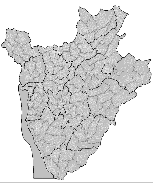
| 12:18, 29 November 2006 |  | 1,025 × 624 (55 KB) | Electionworld (talk | contribs) | {{ew|en|Rarelibra}} Map of the collines of Burundi. Created by Rarelibra 13:53, 31 March 2006 (UTC) for public domain use. Created using MapInfo Professional v7.5 and various mapping resources. == Licensing == {{PD-self}} [[Category:Map |
You cannot overwrite this file.
File usage on Commons
The following 2 pages use this file:
- Atlas of Burundi
- File:Burundi collines .png (file redirect)
File usage on other wikis
The following other wikis use this file:
- Usage on ca.wikipedia.org
- Usage on ckb.wikipedia.org
- Usage on de.wikipedia.org
- Usage on en.wikipedia.org
- Usage on fa.wikipedia.org
- Usage on fr.wikipedia.org
- Usage on id.wikipedia.org
- Usage on it.wikipedia.org
- Usage on mzn.wikipedia.org
- Usage on nl.wikipedia.org
- Usage on pt.wikipedia.org
- Usage on sr.wikipedia.org
- Usage on sv.wikipedia.org
- Usage on www.wikidata.org