File:CAR regions map.svg

Size of this PNG preview of this SVG file: 748 × 554 pixels. Other resolutions: 320 × 237 pixels | 640 × 474 pixels | 1,024 × 758 pixels | 1,280 × 948 pixels | 2,560 × 1,896 pixels.
Original file (SVG file, nominally 748 × 554 pixels, file size: 973 KB)
Captions
Captions
Add a one-line explanation of what this file represents
Summary
edit
| Description |
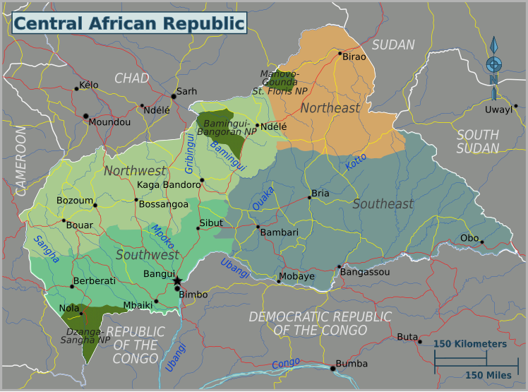
Central African Republic regions map. SVG, Central African Republic
PNG files: |
||||
| Date | |||||
| Source |
UN Cartographic Section [1]
|
||||
| Author | Peter Fitzgerald |
This W3C-unspecified vector image was created with Inkscape .
Licensing
edit
This file is licensed under the Creative Commons Attribution 3.0 Unported license.
- You are free:
- to share – to copy, distribute and transmit the work
- to remix – to adapt the work
- Under the following conditions:
- attribution – You must give appropriate credit, provide a link to the license, and indicate if changes were made. You may do so in any reasonable manner, but not in any way that suggests the licensor endorses you or your use.
Original upload log
edit
| This file was imported from Wikivoyage WTS. |
The original description page was here. All following user names refer to wts.wikivoyage-old.
- 2010-01-25 20:54 (WT-shared) Peterfitzgerald archive copy at the Wayback Machine 744×1052 (1075650 bytes) == Summary == {{Imagecredit|credit=Peter Fitzgerald|captureDate=25 January 2010|location=Central African Republic|source=UN Cartographic Sec (Import from wikitravel.org/shared)
- 2011-07-22 23:11 (WT-shared) Peterfitzgerald archive copy at the Wayback Machine 744×1052 (1056804 bytes) split off S Sudan (Import from wikitravel.org/shared)
File history
Click on a date/time to view the file as it appeared at that time.
| Date/Time | Thumbnail | Dimensions | User | Comment | |
|---|---|---|---|---|---|
| current | 17:26, 27 November 2015 | | 748 × 554 (973 KB) | Hdamm (talk | contribs) | fixed image dimensions, clean up |
| 06:34, 22 November 2012 |  | 744 × 1,052 (1.01 MB) | OgreBot (talk | contribs) | (BOT): Reverting to most recent version before archival | |
| 06:34, 22 November 2012 |  | 744 × 1,052 (1.03 MB) | OgreBot (talk | contribs) | (BOT): Uploading old version of file from wts.wikivoyage; originally uploaded on 2010-01-25 20:54:42 by (WT-shared) Peterfitzgerald | |
| 23:05, 17 November 2012 |  | 744 × 1,052 (1.01 MB) | MGA73bot2 (talk | contribs) | {{BotMoveToCommons|wts.oldwikivoyage|year={{subst:CURRENTYEAR}}|month={{subst:CURRENTMONTHNAME}}|day={{subst:CURRENTDAY}}}} == {{int:filedesc}} == {{Information |description=Central African Republic regions map. SVG, Central African Republic * Map of: ... |
You cannot overwrite this file.
File usage on Commons
The following page uses this file: