File:CCG20072-C4B-29.jpg

Size of this preview: 761 × 600 pixels. Other resolutions: 305 × 240 pixels | 609 × 480 pixels | 975 × 768 pixels | 1,280 × 1,008 pixels | 2,489 × 1,961 pixels.
Original file (2,489 × 1,961 pixels, file size: 1.8 MB, MIME type: image/jpeg)
Captions
Captions
Add a one-line explanation of what this file represents
Summary edit
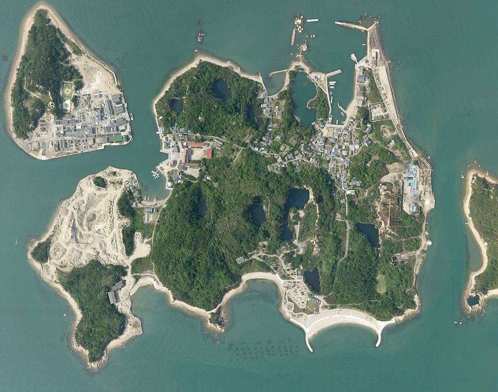
| Description |
日本語: 犬島の航空写真。 |
| Date | |
| Source | http://mapps.gsi.go.jp/maplibSearch.do?specificationId=451509 |
| Author | 国土地理院 |
Licensing edit

|
The copyright holder of this file, Ministry of Land, Infrastructure, Transport and Tourism, allows anyone to use it for any purpose, provided that the copyright holder is properly attributed. Redistribution, derivative work, commercial use, and all other use is permitted. |
Attribution:
National Land Image Information (Color Aerial Photographs), created by Ministry of Land, Infrastructure, Transport and Tourism, distributed by Geospatial Information Authority of Japan
|

File history
Click on a date/time to view the file as it appeared at that time.
| Date/Time | Thumbnail | Dimensions | User | Comment | |
|---|---|---|---|---|---|
| current | 05:18, 20 March 2017 | | 2,489 × 1,961 (1.8 MB) | Nux-vomica 1007 (talk | contribs) | 色調補正 |
| 08:20, 2 January 2017 |  | 2,489 × 1,961 (1.73 MB) | Nux-vomica 1007 (talk | contribs) | トリミング | |
| 10:20, 7 October 2016 |  | 3,622 × 2,362 (531 KB) | Nux-vomica 1007 (talk | contribs) | User created page with UploadWizard |
You cannot overwrite this file.
File usage on Commons
The following 3 pages use this file:
File usage on other wikis
The following other wikis use this file: