File:Cabo da roca (1413906662).jpg
Size of this preview: 800 × 600 pixels. Other resolutions: 320 × 240 pixels | 640 × 480 pixels | 1,024 × 768 pixels.
Original file (1,024 × 768 pixels, file size: 255 KB, MIME type: image/jpeg)
Captions
Captions
Add a one-line explanation of what this file represents
Summary
edit.jpg&action=edit§ion=1)
| Description |
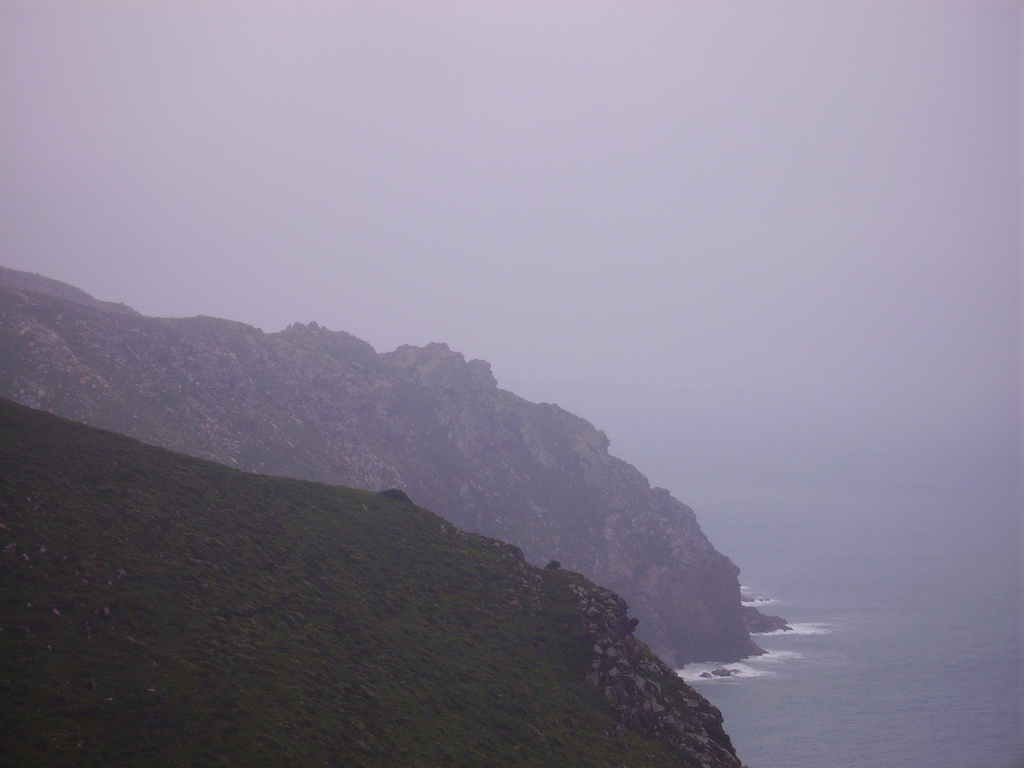
sea near lisbon Cabo da Roca (Cape Roca) is a cape which forms the westernmost point of both mainland Portugal and mainland Europe. The cape is in the Portuguese municipality of Sintra, west of Lisbon district, and also forms the westernmost extent of the Serra de Sintra.[1] abo da Roca was known to the Romans as Promontorium Magnum[1] and during the Age of Sail as the Rock of Lisbon. The 16th century Portuguese poet Luís de Camões described Cabo da Roca as the place "where the land ends and the sea begins" (Portuguese: Onde a terra acaba e o mar começa). |
| Date | |
| Source |
|
| Author | lele3100 |
Licensing
edit.jpg&action=edit§ion=2)
This file is licensed under the Creative Commons Attribution 2.0 Generic license.
- You are free:
- to share – to copy, distribute and transmit the work
- to remix – to adapt the work
- Under the following conditions:
- attribution – You must give appropriate credit, provide a link to the license, and indicate if changes were made. You may do so in any reasonable manner, but not in any way that suggests the licensor endorses you or your use.
| This image, originally posted to Flickr, was reviewed on 29 January 2013 by the administrator or reviewer File Upload Bot (Magnus Manske), who confirmed that it was available on Flickr under the stated license on that date. |
File history
Click on a date/time to view the file as it appeared at that time.
| Date/Time | Thumbnail | Dimensions | User | Comment | |
|---|---|---|---|---|---|
| current | 00:49, 29 January 2013 | | 1,024 × 768 (255 KB) | File Upload Bot (Magnus Manske) (talk | contribs) | Transferred from Flickr by User:tm |
You cannot overwrite this file.
File usage on Commons
There are no pages that use this file.
.jpg&oldid=889627084)