File:Caleta Rayo 4.png

Original file (1,196 × 1,600 pixels, file size: 1.59 MB, MIME type: image/png)
Captions
Captions
Summary
edit
| Description |
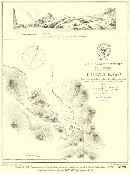
Español: Planos de puertos publicados por el Servicio Hidrográfico de la Armada de Chile. |
| Date | |
| Source | http://sergiotorresvial.blogspot.de/?view=snapshot , creadas por el servicio hidrografico de la Armada de Chile en el siglo xix |
| Author | Servicio hidrografico de la Armada de Chile |
Licensing
edit
|
This work is in the public domain in its country of origin and other countries and areas where the copyright term is the author's life plus 70 years or fewer.
| |
| This file has been identified as being free of known restrictions under copyright law, including all related and neighboring rights. | |
File history
Click on a date/time to view the file as it appeared at that time.
| Date/Time | Thumbnail | Dimensions | User | Comment | |
|---|---|---|---|---|---|
| current | 11:42, 8 February 2018 | | 1,196 × 1,600 (1.59 MB) | Juan Villalobos (talk | contribs) | User created page with UploadWizard |
You cannot overwrite this file.
File usage on Commons
The following page uses this file: