File:California 162.svg

Size of this PNG preview of this SVG file: 449 × 401 pixels. Other resolutions: 269 × 240 pixels | 538 × 480 pixels | 860 × 768 pixels | 1,147 × 1,024 pixels | 2,293 × 2,048 pixels.
Original file (SVG file, nominally 449 × 401 pixels, file size: 14 KB)
Captions
Captions
Add a one-line explanation of what this file represents
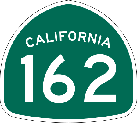
| Description | Vector image of a 24 in by 25 in (600 mm by 635 mm) California State Route shield. Colors are from [1] (Pantone Green 342), converted to RGB by [2]. The outside border has a width of 1 (1/16 in) and a color of black so it shows up; in reality, signs have no outside border. |
| Date | |
| Source | Made to the specifications of the 1971 Caltrans sign drawing (still in use). Uses the Roadgeek 2005 fonts. (United States law does not permit the copyrighting of typeface designs, and the fonts are meant to be copies of a U.S. Government-produced work anyway.) |
| Author | SPUI |
| Other versions |
This vector image includes elements that have been taken or adapted from this file: |
| SVG development | This logo was created with Adobe Illustrator. |
This file is in the public domain because it comes from the California Manual on Uniform Traffic Control Devices, sign number G28-2 (CA), which states specifically in its introduction, on page 44 that:
|
File history
Click on a date/time to view the file as it appeared at that time.
| Date/Time | Thumbnail | Dimensions | User | Comment | |
|---|---|---|---|---|---|
| current | 18:12, 20 March 2006 | | 449 × 401 (14 KB) | SPUI~commonswiki (talk | contribs) | {{spuiother}} 28 in by 25 in California State Route shield, made to the specifications of the [http://www.dot.ca.gov/hq/traffops/signtech/signdel/specs/G28-2.pdf 1971 Caltrans sign drawing] (still in use). Uses the [http://www.triskele.com/fonts/index.htm |
You cannot overwrite this file.
File usage on Commons
The following 4 pages use this file:
File usage on other wikis
The following other wikis use this file:
- Usage on en.wikipedia.org
- Sacramento River
- Butte County, California
- Glenn County, California
- Mendocino County, California
- Northern California
- California State Route 99
- Eel River (California)
- California State Route 163
- Wikipedia:WikiProject U.S. Roads/Redirects/California
- Bidwell Bar Bridge
- California State Route 45
- California State Route 70
- Northwestern Pacific Railroad
- California State Route 161
- California State Route 162
- U.S. Route 101 in California
- List of highways numbered 162
- North Coast (California)
- Interstate 5 in California
- List of state highways in California
- Business routes of Interstate 5
- List of crossings of the Sacramento River
- User:Shannon1/Sandbox
- Template:Northwestern Pacific Railroad main line
- List of mountain passes in California
- Template:Sacramento River map
- User:Tv's emory/Sandbox/List of state highways in California
- List of bridges in the United States
- Template:Eel River (California) map
- Usage on es.wikipedia.org
- Usage on fr.wikipedia.org
- Usage on it.wikipedia.org
- Usage on ja.wikipedia.org
- Usage on pt.wikipedia.org
- Usage on ru.wikipedia.org
- Usage on www.wikidata.org
- Usage on zh-min-nan.wikipedia.org
- Usage on zh.wikipedia.org
View more global usage of this file.