File:California 89.svg

Size of this PNG preview of this SVG file: 385 × 401 pixels. Other resolutions: 230 × 240 pixels | 461 × 480 pixels | 737 × 768 pixels | 983 × 1,024 pixels | 1,966 × 2,048 pixels.
Original file (SVG file, nominally 385 × 401 pixels, file size: 14 KB)
Captions
Captions
Add a one-line explanation of what this file represents
| Description |
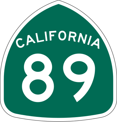
California State Route 89 shield.
|
| Date | |
| Source | Made to the specifications of the 1971 Caltrans sign drawing (still in use). Uses the Roadgeek 2005 fonts. (United States law does not permit the copyrighting of typeface designs, and the fonts are meant to be copies of a U.S. Government-produced work anyway.) |
| Author | SPUI |
| Other versions |
This vector image includes elements that have been taken or adapted from this file: |
| SVG development | This logo was created with Adobe Illustrator. |
This file is in the public domain because it comes from the California Manual on Uniform Traffic Control Devices, sign number G28-2 (CA), which states specifically in its introduction, on page 44 that:
|
File history
Click on a date/time to view the file as it appeared at that time.
| Date/Time | Thumbnail | Dimensions | User | Comment | |
|---|---|---|---|---|---|
| current | 16:33, 20 March 2006 | | 385 × 401 (14 KB) | SPUI~commonswiki (talk | contribs) | |
| 13:49, 20 March 2006 |  | 385 × 401 (14 KB) | SPUI~commonswiki (talk | contribs) | {{spuiother}} 24 in by 25 in (600 mm by 635 mm) California State Route shield, made to the specifications of the [http://www.dot.ca.gov/hq/traffops/signtech/signdel/specs/G28-2.pdf 1971 Caltrans sign drawing] (still in use). Uses the [http://www.triskele. |
You cannot overwrite this file.
File usage on Commons
The following 4 pages use this file:
File usage on other wikis
The following other wikis use this file:
- Usage on arz.wikipedia.org
- Usage on da.wikipedia.org
- Usage on de.wikipedia.org
- Usage on en.wikipedia.org
- Alpine County, California
- El Dorado County, California
- Mono County, California
- Nevada County, California
- Placer County, California
- Plumas County, California
- Shasta County, California
- Sierra County, California
- Siskiyou County, California
- Tehama County, California
- Northern California
- Wye (rail)
- California State Route 49
- California State Route 299
- Eastern California
- California State Route 90
- California State Route 4
- Wikipedia:WikiProject U.S. Roads/Redirects/California
- Keddie Wye
- California State Route 88
- California State Route 89
- California State Route 28
- California State Route 32
- California State Route 36
- Volcanic Legacy Scenic Byway
- California State Route 44
- California State Route 70
- California State Route 147
- Interstate 80 in California
- Sierra Highway
- California State Route 172
- California State Route 267
- U.S. Route 50 in California
- List of highways numbered 89
- Monitor Pass
- Luther Pass
- Interstate 5 in California
- U.S. Route 395 in California
- Morgan Summit
- List of state highways in California
- Sacramento metropolitan area
- User:DeFaultRyan/Travels
- California county routes in zone A
- California county routes in zone E
View more global usage of this file.