File:California counties outline map.svg

Size of this PNG preview of this SVG file: 358 × 599 pixels. Other resolutions: 143 × 240 pixels | 287 × 480 pixels | 459 × 768 pixels | 612 × 1,024 pixels | 1,223 × 2,048 pixels | 512 × 857 pixels.
Original file (SVG file, nominally 512 × 857 pixels, file size: 669 KB)
Captions
Captions
Add a one-line explanation of what this file represents
| Description |
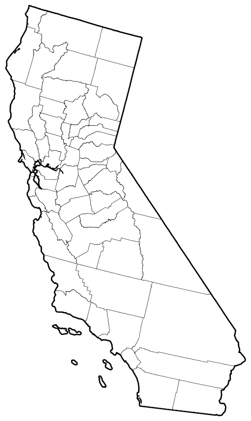
Deutsch: Umrisskarte von Kalifornien und seinen Counties English: Vector outline map of California showing state and county borders. Derived from a US Census publication. |
| Date | (UTC) |
| Source | |
| Author |
|
| Other versions |
Derivative works of this file: |
| This is a retouched picture, which means that it has been digitally altered from its original version. Modifications: Removed background colors and numbering. The original can be viewed here: California county map.svg:
|
This image or file is a work of a United States Census Bureau employee, taken or made as part of that person's official duties. As a work of the U.S. federal government, the image is in the public domain.
|
 |
Original upload log edit
This image is a derivative work of the following images:
- File:California_county_map.svg licensed with PD-USGov-DOC-Census
- 2006-09-21T21:01:46Z Tintazul 512x857 (722537 Bytes) County map corrected and coloured, with FIPS subcode
- 2006-01-02T19:09:38Z Fastfission 94x160 (723356 Bytes) Vector map of California showing state and county borders. Derived from a US Census publication. {{PD-USGov-DOC-Census}} [[Category:Maps of California]]
Uploaded with derivativeFX
File history
Click on a date/time to view the file as it appeared at that time.
| Date/Time | Thumbnail | Dimensions | User | Comment | |
|---|---|---|---|---|---|
| current | 18:30, 17 September 2009 | | 512 × 857 (669 KB) | Babbage (talk | contribs) | {{Information |Description=Vector outline map of California showing state and county borders. Derived from a US Census publication. |Source=*File:California_county_map.svg |Date=2009-09-17 18:28 (UTC) |Author=*File:California_county_map.svg: |
You cannot overwrite this file.
File usage on Commons
The following 2 pages use this file: