File:Cambridge centre map.png
Size of this preview: 625 × 599 pixels. Other resolutions: 250 × 240 pixels | 501 × 480 pixels | 781 × 749 pixels.
Original file (781 × 749 pixels, file size: 517 KB, MIME type: image/png)
Captions
Captions
Add a one-line explanation of what this file represents
| Description |
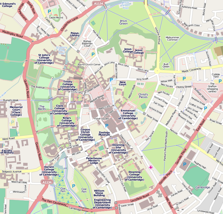
English: Map of Cambridge
Geographic limits of the map:
This file is licensed under the Creative Commons Attribution-Share Alike 2.0 Generic license.
|
| Source | OpenStreetMap |
| Author | Dr. Blofeld |
File history
Click on a date/time to view the file as it appeared at that time.
| Date/Time | Thumbnail | Dimensions | User | Comment | |
|---|---|---|---|---|---|
| current | 09:30, 15 May 2010 | | 781 × 749 (517 KB) | Dr. Blofeld~commonswiki (talk | contribs) | {{Information |Description={{en|1=f}} |Source=f |Author=f |Date=f |Permission= |other_versions= }} |
You cannot overwrite this file.
File usage on Commons
The following page uses this file:
File usage on other wikis
The following other wikis use this file:
- Usage on ar.wikipedia.org
- Usage on ceb.wikipedia.org
- Usage on cs.wikipedia.org
- Usage on en.wikipedia.org
- Pembroke College, Cambridge
- Trinity College, Cambridge
- Christ's College, Cambridge
- Peterhouse, Cambridge
- Downing College, Cambridge
- St John's College, Cambridge
- Clare College, Cambridge
- Trinity Hall, Cambridge
- King's College, Cambridge
- Magdalene College, Cambridge
- Sidney Sussex College, Cambridge
- Emmanuel College, Cambridge
- Corpus Christi College, Cambridge
- Hughes Hall, Cambridge
- Queens' College, Cambridge
- St Catharine's College, Cambridge
- Lucy Cavendish College, Cambridge
- Fitzwilliam Museum
- St Edmund's College, Cambridge
- Darwin College, Cambridge
- Church of St Mary the Great, Cambridge
- Downing Place United Reformed Church, Cambridge
- List of monastic houses in Cambridgeshire
- Little St Mary's, Cambridge
- All Saints' Church, Cambridge
- King's Parade
- Gonville and Caius College, Cambridge
- Trinity Street, Cambridge
- Silver Street, Cambridge
- Our Lady and the English Martyrs Church
- Cambridge University Catholic Chaplaincy
- Jesus College, Cambridge
- Module:Location map/data/United Kingdom Cambridge Central/doc
- Fort St George In England
- The Bull Hotel, Cambridge
- List of churches in Cambridge
- List of churches in South Cambridgeshire
- List of churches in Fenland
- List of churches in East Cambridgeshire
- List of churches in Peterborough
- List of churches in Huntingdonshire
- Module:Location map/data/United Kingdom Cambridge Central
- Usage on es.wikipedia.org
- Usage on fa.wikipedia.org
View more global usage of this file.