File:Camp Life 1900-1903, Wright Brothers National Memorial Visitor Center, Kill Devil Hills, North Carolina (14260662568).jpg
Original file (4,000 × 3,000 pixels, file size: 3.27 MB, MIME type: image/jpeg)
Captions
Captions
Summary edit
.jpg&action=edit§ion=1)
| Description |
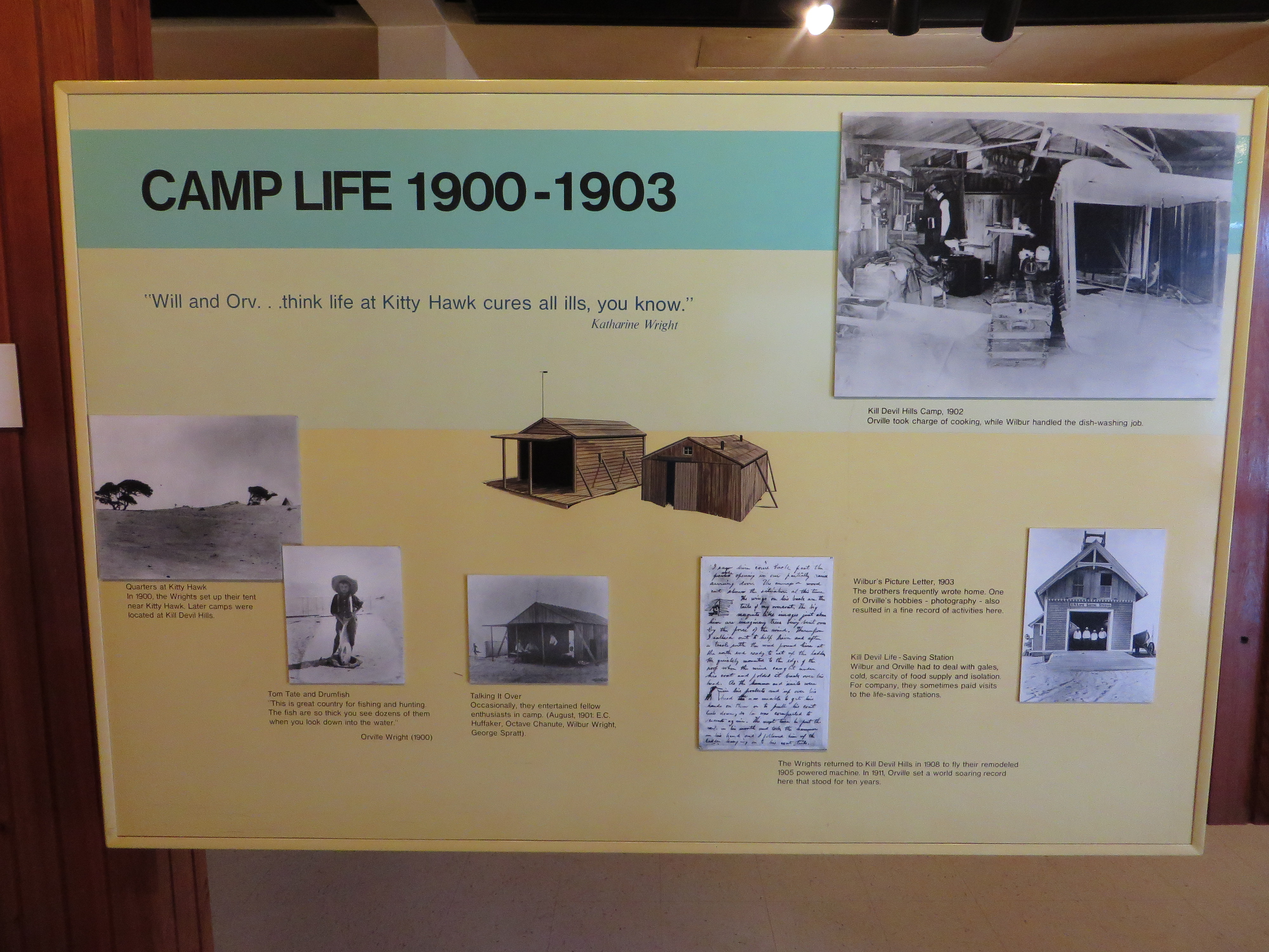
Wright Brothers National Memorial, located in Kill Devil Hills, North Carolina, commemorates the first successful, sustained, powered flights in a heavier-than-air machine. From 1900 to 1903, Wilbur and Orville Wright came here from Dayton, Ohio, based on information from the U.S. Weather Bureau about the area's steady winds. They also valued the privacy provided by this location, which in the early twentieth century was remote from major population centers. The Visitor Center is home to a museum featuring models and actual tools and machines used by the Wright brothers during their flight experiments including a reproduction of the wind tunnel used to test wing shapes and a portion of the engine used in the first flight. In one wing of the Visitor Center is a life-size replica of the Wright brothers' 1903 Flyer, the first powered aircraft in history to achieve controlled flight. A full-scale model of the Brothers' 1902 glider is also present, having been constructed under the direction of Orville Wright himself. Adorning the walls of the glider room are portraits and photographs of other flight pioneers throughout history. <a href="http://en.wikipedia.org/wiki/Wright_Brothers_National_Memorial" rel="nofollow">en.wikipedia.org/wiki/Wright_Brothers_National_Memorial</a> <a href="http://en.wikipedia.org/wiki/Wikipedia:Text_of_Creative_Commons_Attribution-ShareAlike_3.0_Unported_License" rel="nofollow">en.wikipedia.org/wiki/Wikipedia:Text_of_Creative_Commons_...</a> |
| Date | |
| Source | Camp Life 1900-1903, Wright Brothers National Memorial Visitor Center, Kill Devil Hills, North Carolina |
| Author | Ken Lund from Reno, Nevada, USA |
| Camera location | | View this and other nearby images on: OpenStreetMap |
|---|
.jpg¶ms=036.020480_N_-075.667514_E_globe:Earth_type:camera_source:Flickr_&language=en)
Licensing edit
.jpg&action=edit§ion=2)
- You are free:
- to share – to copy, distribute and transmit the work
- to remix – to adapt the work
- Under the following conditions:
- attribution – You must give appropriate credit, provide a link to the license, and indicate if changes were made. You may do so in any reasonable manner, but not in any way that suggests the licensor endorses you or your use.
- share alike – If you remix, transform, or build upon the material, you must distribute your contributions under the same or compatible license as the original.
| This image was originally posted to Flickr by Ken Lund at https://flickr.com/photos/75683070@N00/14260662568 (archive). It was reviewed on 11 February 2020 by FlickreviewR 2 and was confirmed to be licensed under the terms of the cc-by-sa-2.0. |
File history
Click on a date/time to view the file as it appeared at that time.
| Date/Time | Thumbnail | Dimensions | User | Comment | |
|---|---|---|---|---|---|
| current | 02:19, 11 February 2020 | | 4,000 × 3,000 (3.27 MB) | Ser Amantio di Nicolao (talk | contribs) | Transferred from Flickr via #flickr2commons |
You cannot overwrite this file.
File usage on Commons
There are no pages that use this file.
.jpg&oldid=846709043)