File:Campospinoso Albaredo (PV) - frazione Campospinoso - chiesa dei Santi Lorenzo e Giuseppe.jpg

Size of this preview: 400 × 600 pixels. Other resolutions: 160 × 240 pixels | 320 × 480 pixels | 512 × 768 pixels | 682 × 1,024 pixels | 1,600 × 2,400 pixels.
Original file (1,600 × 2,400 pixels, file size: 1.5 MB, MIME type: image/jpeg)
Captions
Captions
Add a one-line explanation of what this file represents
Summary
edit_-_frazione_Campospinoso_-_chiesa_dei_Santi_Lorenzo_e_Giuseppe.jpg&action=edit§ion=1)
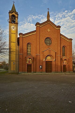
| Description | Chiesa dei Santi Lorenzo e Giuseppe | ||
| Date | 1 January 2013 (original upload date) | ||
| Source | https://web.archive.org/web/20161024153859/http://www.panoramio.com/photo/84113035 | ||
| Author | Terensky | ||
| Permission (Reusing this file) |
This file is licensed under the Creative Commons Attribution 3.0 Unported license. Attribution: Terensky
|
||
| Tags (from Panoramio photo page) | Campospinoso, Campospinoso, edifici religiosi, Lombardia |
| Camera location | | View this and other nearby images on: OpenStreetMap |
|---|
_-_frazione_Campospinoso_-_chiesa_dei_Santi_Lorenzo_e_Giuseppe.jpg¶ms=045.093288_N_0009.245682_E_globe:Earth_type:camera_source:Panoramio_&language=en)
File history
Click on a date/time to view the file as it appeared at that time.
| Date/Time | Thumbnail | Dimensions | User | Comment | |
|---|---|---|---|---|---|
| current | 16:41, 9 February 2017 | | 1,600 × 2,400 (1.5 MB) | Panoramio upload bot (talk | contribs) | == {{int:filedesc}} == {{Information |description=Chiesa dei Santi Lorenzo e Giuseppe |date={{Original upload date|2013-01-01}} |source=http://www.panoramio.com/photo/84113035 |author=[http://www.panoramio.com/user/4616731?with_photo_id=84113035 Terens... |
You cannot overwrite this file.
File usage on Commons
The following page uses this file:
- File:Chiesa dei Santi Lorenzo e Giuseppe - panoramio.jpg (file redirect)
File usage on other wikis
The following other wikis use this file:
- Usage on de.wikipedia.org
- Usage on en.wikipedia.org
- Usage on it.wikipedia.org
- Usage on lij.wikipedia.org
- Usage on tl.wikipedia.org
- Usage on www.wikidata.org
_-_frazione_Campospinoso_-_chiesa_dei_Santi_Lorenzo_e_Giuseppe.jpg&oldid=856693044)