File:Canada British Columbia (no subdivisions) location map.svg

Size of this PNG preview of this SVG file: 740 × 600 pixels. Other resolutions: 296 × 240 pixels | 593 × 480 pixels | 948 × 768 pixels | 1,264 × 1,024 pixels | 2,528 × 2,048 pixels | 2,419 × 1,960 pixels.
Original file (SVG file, nominally 2,419 × 1,960 pixels, file size: 1.26 MB)
Captions
Captions
Add a one-line explanation of what this file represents
W3C-validity not checked.
Summary
edit_location_map.svg&action=edit§ion=1)
| Description |
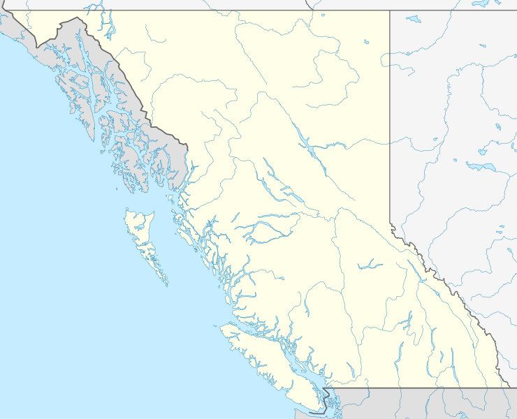
Quadratische Plattkarte, N-S-Streckung 170 %. Geographische Begrenzung der Karte:
Equirectangular projection, N/S stretching 170 %. Geographic limits of the map:
|
| Date | |
| Source |
Own work, using
|
| Author | NordNordWest |
| Permission (Reusing this file) |
I, the copyright holder of this work, hereby publish it under the following license: This file is licensed under the Creative Commons Attribution-Share Alike 3.0 Unported license.
|
| Other versions | file:Canada British Columbia location map.svg Regular version with district boundaries |

|
This map has been made or improved in the German Kartenwerkstatt (Map Lab). You can propose maps to improve as well.
|
File history
Click on a date/time to view the file as it appeared at that time.
| Date/Time | Thumbnail | Dimensions | User | Comment | |
|---|---|---|---|---|---|
| current | 14:56, 27 August 2009 | | 2,419 × 1,960 (1.26 MB) | NordNordWest (talk | contribs) | {{int:filedesc}} {{Information |Description= {{de|Positionskarte von British Columbia, Kanada}} Quadratische Plattkarte, N-S-Streckung 170 %. Geographische Begrenzung der Karte: * N: 60.3° N * S: 48.1° N * W: 139. |
You cannot overwrite this file.
File usage on Commons
The following page uses this file:
File usage on other wikis
The following other wikis use this file:
- Usage on ar.wikipedia.org
- Usage on ast.wikipedia.org
- Usage on de.wikipedia.org
- Usage on en.wikipedia.org
- Garibaldi Provincial Park
- Tatshenshini-Alsek Provincial Park
- Kokanee Glacier Provincial Park
- Whiteswan Lake Provincial Park
- Fort Langley
- Lulu Island
- Grand Canyon of the Fraser
- Atlin/Áa Tlein Téix'i Provincial Park
- Caligata Lake Provincial Park
- Cathedral Provincial Park and Protected Area
- Yard Creek Provincial Park
- Yahk Provincial Park
- E. C. Manning Provincial Park
- Entiako Provincial Park
- Itcha Ilgachuz Provincial Park
- Kikomun Creek Provincial Park
- Klewnuggit Inlet Marine Provincial Park
- Kokanee Creek Provincial Park
- Lowe Inlet Marine Provincial Park
- Marl Creek Provincial Park
- Martha Creek Provincial Park
- Ningunsaw Provincial Park
- Northern Rocky Mountains Provincial Park
- Whiskers Point Provincial Park
- White Lake Provincial Park
- White Pelican Provincial Park
- Windermere Lake Provincial Park
- Wire Cache Provincial Park
- Wistaria Provincial Park
- Pink Mountain Provincial Park
- Rearguard Falls Provincial Park
- Tweedsmuir North Provincial Park and Protected Area
- Tweedsmuir South Provincial Park
- Moresby Island
- Giscome Portage
- Machmell River Cone
- Cascade City
- Trial Islands (British Columbia)
- Wales Island (British Columbia)
- Explorer Seamount
- Estella Mine
- Oshawa Seamount
- Tucker Seamount
- Chelan Seamount
- Seminole Seamount
- Union Seamount
- Stirni Seamount
View more global usage of this file.
_location_map.svg)
_location_map.svg&oldid=847036139)