File:Canal crossing underneath fold road at ringley village.jpg

Size of this preview: 451 × 599 pixels. Other resolutions: 180 × 240 pixels | 361 × 480 pixels | 578 × 768 pixels | 770 × 1,024 pixels | 1,496 × 1,988 pixels.
Original file (1,496 × 1,988 pixels, file size: 581 KB, MIME type: image/jpeg)
Captions
Captions
Add a one-line explanation of what this file represents
| Camera location | | View this and other nearby images on: OpenStreetMap |
|---|
Summary
edit
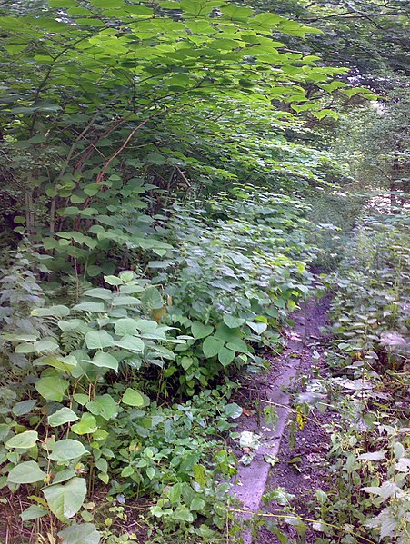
| Description | Ringley Village - the canal passes under Fold Road here. This image is looking north, the road is behind me. The canal bed is to the left of the coping stones. |
| Date | |
| Source | Own work |
| Author | Parrot of Doom |
Licensing
edit
| This work has been released into the public domain by its author, I, Parrot of Doom. This applies worldwide. In some countries this may not be legally possible; if so: I, Parrot of Doom grants anyone the right to use this work for any purpose, without any conditions, unless such conditions are required by law. |
File history
Click on a date/time to view the file as it appeared at that time.
| Date/Time | Thumbnail | Dimensions | User | Comment | |
|---|---|---|---|---|---|
| current | 21:22, 17 July 2007 | | 1,496 × 1,988 (581 KB) | Parrot of Doom (talk | contribs) | {{Information |Description=Ringley Village - the canal passes under Fold Road here. This image is looking north, the road is behind me. |Source=self-made |Date=17 July 2007 |Author= Parrot of Doom }} [[Category:Manchester, Bolton |
You cannot overwrite this file.
File usage on Commons
There are no pages that use this file.