File:Cannon Row.jpg

Size of this preview: 800 × 571 pixels. Other resolutions: 320 × 228 pixels | 640 × 457 pixels | 1,024 × 731 pixels | 1,280 × 914 pixels | 2,425 × 1,731 pixels.
Original file (2,425 × 1,731 pixels, file size: 1.68 MB, MIME type: image/jpeg)
Captions
Captions
Add a one-line explanation of what this file represents
Summary
edit
| Description |
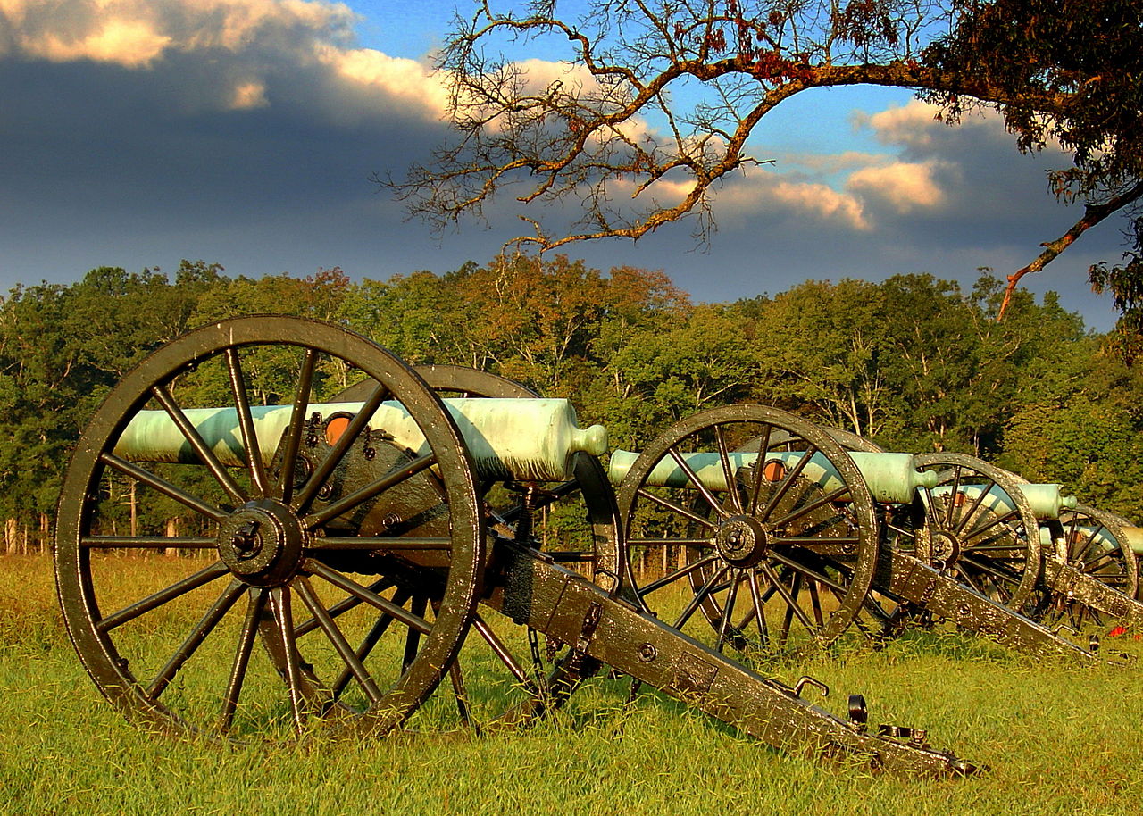
English: Blooms Louisiana Battery at Chickamauga and Chattanooga National Military Park
|
||
| Date | Taken on 12 September 2012, 08:11:27 | ||
| Source | Own work | ||
| Author | Lhughesw5 |
| Camera location | | View this and other nearby images on: OpenStreetMap |
|---|
Licensing
edit
I, the copyright holder of this work, hereby publish it under the following license:
This file is licensed under the Creative Commons Attribution-Share Alike 3.0 Unported license.
- You are free:
- to share – to copy, distribute and transmit the work
- to remix – to adapt the work
- Under the following conditions:
- attribution – You must give appropriate credit, provide a link to the license, and indicate if changes were made. You may do so in any reasonable manner, but not in any way that suggests the licensor endorses you or your use.
- share alike – If you remix, transform, or build upon the material, you must distribute your contributions under the same or compatible license as the original.

|
This image was uploaded as part of Wiki Loves Monuments 2012.
|
 |
This image has been assessed using the Quality image guidelines and is considered a Quality image.
|
File history
Click on a date/time to view the file as it appeared at that time.
| Date/Time | Thumbnail | Dimensions | User | Comment | |
|---|---|---|---|---|---|
| current | 23:26, 26 November 2012 | | 2,425 × 1,731 (1.68 MB) | Lhughesw5 (talk | contribs) | Reverted to version as of 01:51, 23 September 2012 |
| 09:24, 23 November 2012 |  | 2,425 × 1,731 (4.07 MB) | Iifar (talk | contribs) | sky denoising plus minor sharpening | |
| 01:51, 23 September 2012 |  | 2,425 × 1,731 (1.68 MB) | Lhughesw5 (talk | contribs) | User created page with UploadWizard |
You cannot overwrite this file.
File usage on Commons
The following 7 pages use this file:
File usage on other wikis
The following other wikis use this file:
- Usage on ceb.wikipedia.org
- Usage on de.wikipedia.org
- Usage on en.wikipedia.org
- Usage on en.wikivoyage.org
- Usage on fr.wikipedia.org
- Parc national des Great Smoky Mountains
- Sentier des Appalaches
- Big South Fork National River and Recreation Area
- Obed Wild and Scenic River
- Champ de bataille national de la Stones River
- Cumberland Gap National Historical Park
- Natchez Trace Trail
- Overmountain Victory National Historic Trail
- Manhattan Project National Historical Park
- Modèle:Palette Unités du National Park System au Tennessee
- Champ de bataille national de Fort Donelson
- Andrew Johnson National Historic Site
- Natchez Trace Parkway
- Chickamauga and Chattanooga National Military Park
- Shiloh National Military Park
- Trail of Tears National Historic Trail
- Usage on it.wikipedia.org
- Usage on www.wikidata.org