File:Cape Hatteras National Seashore, North Carolina Highway 12, Outer Banks (14267981070).jpg

Original file (4,000 × 3,000 pixels, file size: 2.82 MB, MIME type: image/jpeg)
Captions
Captions
Summary
edit.jpg&action=edit§ion=1)
| Description |
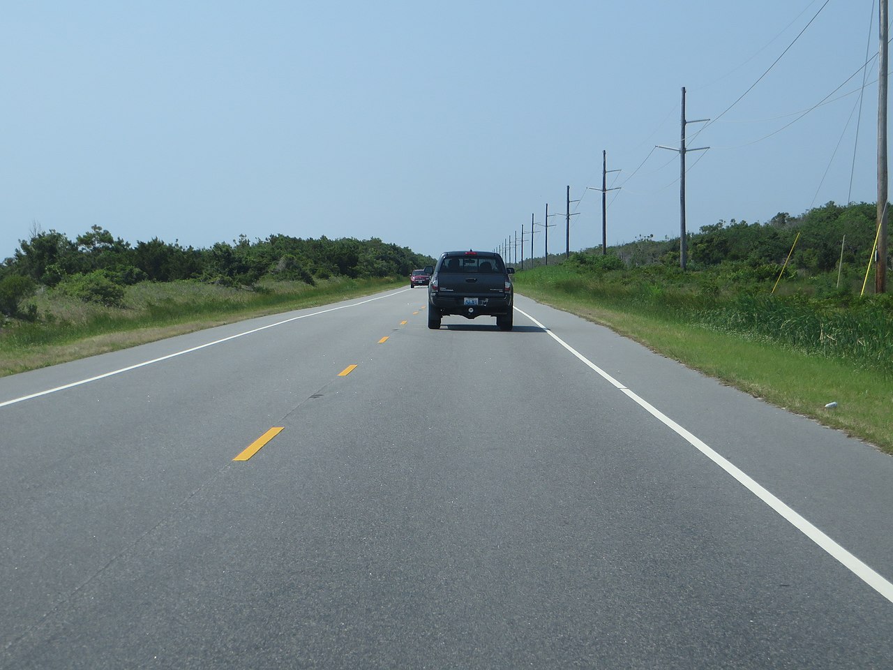
Cape Hatteras National Seashore is a United States national seashore which preserves the portion of the Outer Banks of North Carolina from Bodie Island to Ocracoke Island, stretching over 70 miles (110 km), and is managed by the National Park Service. Included within this section of barrier islands along N.C. 12, but outside the national seashore boundaries, are Pea Island National Wildlife Refuge and several communities, such as Rodanthe, Buxton, and Ocracoke. Cape Hatteras is a combination of natural and cultural resources, and provides a wide variety of recreational opportunities. Once dubbed the "Graveyard of the Atlantic" for its treacherous currents, shoals, and storms, Cape Hatteras has a wealth of history relating to shipwrecks, lighthouses, and the US Lifesaving Service. The islands also provide a variety of habitats and are a valuable wintering area for migrating waterfowl. The park's fishing and surfing are considered the best on the East Coast. <a href="http://en.wikipedia.org/wiki/Cape_Hatteras_National_Seashore" rel="nofollow">en.wikipedia.org/wiki/Cape_Hatteras_National_Seashore</a> <a href="http://en.wikipedia.org/wiki/Wikipedia:Text_of_Creative_Commons_Attribution-ShareAlike_3.0_Unported_License" rel="nofollow">en.wikipedia.org/wiki/Wikipedia:Text_of_Creative_Commons_...</a> |
| Date | |
| Source | Cape Hatteras National Seashore, North Carolina Highway 12, Outer Banks |
| Author | Ken Lund from Reno, Nevada, USA |
| Camera location | | View this and other nearby images on: OpenStreetMap |
|---|
.jpg¶ms=035.522011_N_-075.475356_E_globe:Earth_type:camera_source:Flickr_&language=en)
Licensing
edit.jpg&action=edit§ion=2)
- You are free:
- to share – to copy, distribute and transmit the work
- to remix – to adapt the work
- Under the following conditions:
- attribution – You must give appropriate credit, provide a link to the license, and indicate if changes were made. You may do so in any reasonable manner, but not in any way that suggests the licensor endorses you or your use.
- share alike – If you remix, transform, or build upon the material, you must distribute your contributions under the same or compatible license as the original.
| This image was originally posted to Flickr by Ken Lund at https://flickr.com/photos/75683070@N00/14267981070 (archive). It was reviewed on 11 February 2020 by FlickreviewR 2 and was confirmed to be licensed under the terms of the cc-by-sa-2.0. |
File history
Click on a date/time to view the file as it appeared at that time.
| Date/Time | Thumbnail | Dimensions | User | Comment | |
|---|---|---|---|---|---|
| current | 02:25, 11 February 2020 | | 4,000 × 3,000 (2.82 MB) | Ser Amantio di Nicolao (talk | contribs) | Transferred from Flickr via #flickr2commons |
You cannot overwrite this file.
File usage on Commons
There are no pages that use this file.
.jpg&oldid=847665016)