File:Caribbean by political system.png
No higher resolution available.
Caribbean_by_political_system.png (419 × 445 pixels, file size: 7 KB, MIME type: image/png)
Captions
Captions
Add a one-line explanation of what this file represents
Summary edit
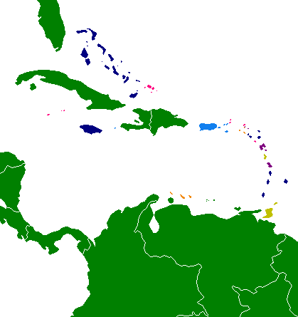
| Description | This map shows the various areas of the Caribbean by political system, or in the case of dependencies, the parent country. |
| Date | 5 March 2007 (original upload date) |
| Source | No machine-readable source provided. Own work assumed (based on copyright claims). |
| Author | No machine-readable author provided. Hoshie assumed (based on copyright claims). |
Key edit
United States Insular areas
Part of the Kingdom of the Netherlands
Licensing edit
Hoshie, the copyright holder of this work, hereby publishes it under the following license:
| I, the copyright holder of this work, release this work into the public domain. This applies worldwide. In some countries this may not be legally possible; if so: I grant anyone the right to use this work for any purpose, without any conditions, unless such conditions are required by law. |
File history
Click on a date/time to view the file as it appeared at that time.
| Date/Time | Thumbnail | Dimensions | User | Comment | |
|---|---|---|---|---|---|
| current | 05:45, 3 September 2007 | | 419 × 445 (7 KB) | Hoshie (talk | contribs) | made water white, darker yellow for the Commonwealth republics |
| 06:34, 8 April 2007 |  | 419 × 445 (7 KB) | Hoshie (talk | contribs) | new colors; ocean in gray | |
| 04:33, 5 March 2007 |  | 419 × 445 (10 KB) | Hoshie (talk | contribs) | added Saba, Statia, and St.-Barth. Made Commonwealth republics brown. |
You cannot overwrite this file.
File usage on Commons
The following 3 pages use this file:
File usage on other wikis
The following other wikis use this file:
- Usage on lmo.wikipedia.org